Obaga dels Prats
Obaga dels Prats is a locality in Prat de Comte, Tarragona, Catalonia. Obaga dels Prats is situated nearby to the locality los Aligars, as well as near les Saleres de Panxon.| Tap on a place to explore it |
Places of Interest
Highlights include Pinell de Bray train station and Santuari de Fontcalda.

Santuari de Fontcalda
Church

Photo: Ferran Llorens, CC BY-SA 2.0.
Santuari de Fontcalda is a church, which is situated 3 km northwest of Obaga dels Prats.
Places in the Area
Nearby places include Benifallet and El Pinell de Brai.
Benifallet
Village

Photo: Maximodelaiglesia, CC BY-SA 4.0.
Benifallet is a municipality in the comarca of Baix Ebre, in the province of Tarragona, in Catalonia, Spain. It has a population of 718. This town is located by the Ebro River, below the Cardó Massif. Benifallet is situated 5 km east of Obaga dels Prats.
El Pinell de Brai
Village

Photo: Misburg3014, CC BY-SA 3.0.
El Pinell de Brai is a municipality in the comarca of la Terra Alta in Catalonia, Spain. It has a population of 979. This town is located in a small plain surrounded by mountains including Serra de Pàndols and Serra de Cavalls. El Pinell de Brai is situated 6 km northeast of Obaga dels Prats.
Bot Municipality
Village
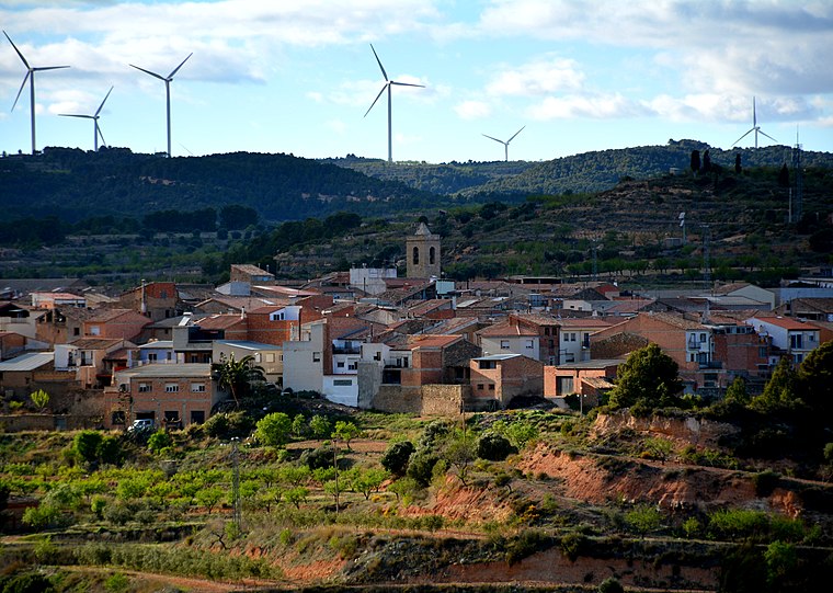
Photo: Wikimedia, CC BY-SA 2.0.
Bot is a town located in the comarca of Terra Alta, province of Tarragona, in Catalonia, Spain. It is located between the Serra de la Solsida and the Serra dels Pesells ranges. Bot Municipality is situated 7 km northwest of Obaga dels Prats.
Obaga dels Prats
- Type: Locality
- Location: Prat de Comte, Tarragona, Catalonia, Eastern Spain, Spain, Iberia, Europe
- View on OpenStreetMap
Latitude
40.98344° or 40° 59′ 0″ northLongitude
0.45848° or 0° 27′ 31″ eastOpen location code
8FG2XFM5+99OpenStreetMap ID
node 1241787097OpenStreetMap feature
place=locality
This page is based on OpenStreetMap, Wikidata, and Wikimedia Commons.
We’d love your help improving our open data sources. Thank you for contributing.
Satellite Map
Discover Obaga dels Prats from above in high-definition satellite imagery.
In Other Languages
“Obaga dels Prats” goes by many names.
- Catalan: “Obaga dels Prats”
Localities in the Area
Explore places such as los Aligars and les Saleres de Panxon.
Notable Places Nearby
Highlights include Aligars del Covero and Aligars de Llacuna.
Tarragona: Must-Visit Destinations
Delve into Tarragona, Reus, Tortosa, and Salou.
Curious Localities to Discover
Uncover intriguing localities from every corner of the globe.
About Mapcarta. Data © OpenStreetMap contributors and available under the Open Database License". Text is available under the CC BY-SA 4.0 license, except for photos, directions, and the map. Photo: Lluket, CC BY-SA 3.0.