Humeruelo Chico
Humeruelo Chico is a locality in Jerez de la Frontera, Cádiz, Andalusia. Humeruelo Chico is situated nearby to the locality La Unión, as well as near Majarazotán.| Tap on a place to explore it |
Places of Interest
Highlights include Jerez Airport and Iglesia de Nueva Jarilla.
Jerez Airport
Aerodrome

Photo: Wafry, CC BY-SA 3.0.
Jerez Airport is an airport located 9 km northeast of Jerez de la Frontera in Andalusia, Spain, about 28.1 mi from Cádiz.
Iglesia de Nueva Jarilla
Church

Photo: El Pantera, CC BY-SA 3.0.
Iglesia de Nueva Jarilla is a church.
Aeropuerto de Jerez
Railway station
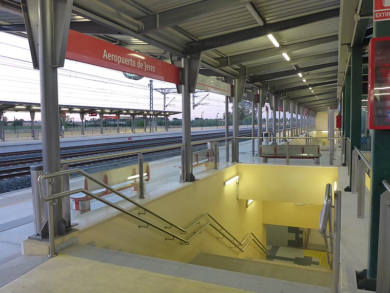
Photo: El Pantera, CC BY-SA 4.0.
Aeropuerto de Jerez is a railway station.
Places in the Area
Nearby places include Nueva Jarilla and Torremelgarejo.

Torremelgarejo
Neighborhood

Photo: El Pantera, CC BY-SA 4.0.
Torremelgarejo is a neighborhood, which is situated 4 km south of Humeruelo Chico.
Cuartillos
Hamlet

Photo: El Pantera, CC BY-SA 4.0.
Cuartillos is a hamlet, which is situated 8 km south of Humeruelo Chico.
Humeruelo Chico
- Type: Locality
- Location: Jerez de la Frontera, Cádiz, Andalusia, Spain, Iberia, Europe
- View on OpenStreetMap
Latitude
36.75051° or 36° 45′ 2″ northLongitude
-6.03931° or 6° 2′ 22″ westOpen location code
8C8MQX26+67OpenStreetMap ID
node 1241917232OpenStreetMap feature
place=locality
This page is based on OpenStreetMap, Wikidata, and Wikimedia Commons.
We’d love your help improving our open data sources. Thank you for contributing.
Satellite Map
Discover Humeruelo Chico from above in high-definition satellite imagery.
Localities in the Area
Explore places such as La Unión and Majarazotán.
Notable Places Nearby
Highlights include Pabellón Municipal de Deportes and Centro de Formación.
Cádiz: Must-Visit Destinations
Delve into Cádiz, Algeciras, Tarifa, and El Puerto de Santa María.
Curious Localities to Discover
Uncover intriguing localities from every corner of the globe.
About Mapcarta. Data © OpenStreetMap contributors and available under the Open Database License". Text is available under the CC BY-SA 4.0 license, except for photos, directions, and the map. Photo: Mx. Granger, CC0.