Rompebonetes
Rompebonetes is a locality in Montilla, Córdoba, Andalusia. Rompebonetes is situated nearby to the locality Fuente del Hierro, as well as near Diente de Caña.| Tap on a place to explore it |
Places in the Area
Nearby places include La Rambla and Montilla.
La Rambla
Village

Photo: Kallerna, CC BY-SA 4.0.
La Rambla is a municipality in the province of Córdoba, Spain. La Rambla is situated 4 km west of Rompebonetes.
Montilla
Town

Photo: LBM1948, CC BY-SA 4.0.
Montilla is a town and municipality of Spain, located in the autonomous community of Andalusia. As of 2017, the town had a population of 23,209, which makes it the fourth most populated municipality of the Province of Córdoba. Montilla is situated 5 km east of Rompebonetes.
Fernán Núñez
Town
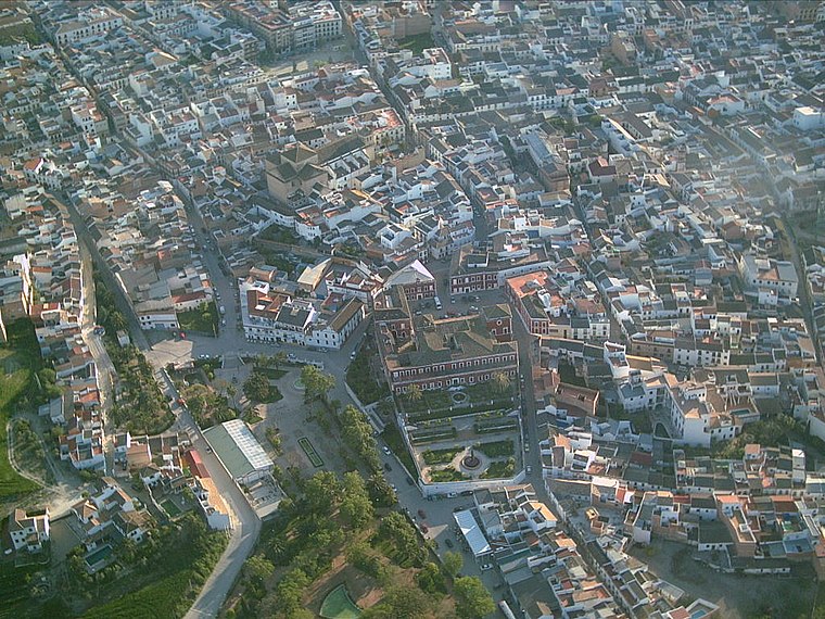
Photo: Wikimedia, CC BY-SA 3.0.
Fernán-Núñez is a municipality in the province of Córdoba, Spain. It is the host of the annual Caños Dorados Prize. Fernán Núñez is situated 9 km north of Rompebonetes.
Rompebonetes
Latitude
37.59346° or 37° 35′ 36″ northLongitude
-4.69446° or 4° 41′ 40″ westOpen location code
8C9QH8V4+96OpenStreetMap ID
node 1241934539OpenStreetMap feature
place=locality
This page is based on OpenStreetMap, Wikidata, and Wikimedia Commons.
We’d love your help improving our open data sources. Thank you for contributing.
Satellite Map
Discover Rompebonetes from above in high-definition satellite imagery.
Localities in the Area
Explore places such as Fuente del Hierro and Diente de Caña.
Notable Places Nearby
Highlights include SL-A 88 and Parque Tierno Galván.
Córdoba: Must-Visit Destinations
Delve into Córdoba, Puente Genil, and Iznájar.
Curious Localities to Discover
Uncover intriguing localities from every corner of the globe.
About Mapcarta. Data © OpenStreetMap contributors and available under the Open Database License". Text is available under the CC BY-SA 4.0 license, except for photos, directions, and the map. Photo: Mitch Vander Vorst, CC BY 2.0.