El Soto Flores
El Soto Flores is a locality in María de Huerva Municipality, Saragossa, Aragon. El Soto Flores is situated nearby to the locality Huerta Alta, as well as near the hamlet Paso de Los Carros.| Tap on a place to explore it |
Places of Interest
Highlights include María de Huerva and Castillo de María de Huerva.

Castillo de María de Huerva
Castle

Photo: Mantoide, CC BY-SA 4.0.
Castillo de María de Huerva is a castle.
Contrebia Belaisca
Archaeological site
 Contrebia Belaisca is an archaeological site, which is situated 3 km southwest of El Soto Flores.
Places in the Area
Nearby places include Botorrita Municipality and Mozota.
Botorrita Municipality
Village
Botorrita is a municipality of 574 residents located in the province of Zaragoza, Aragon, Spain. Botorrita is known for the archeological artefacts found there, such as the Botorrita plaques. The Romans knew it as Contrebia Belaisca. Botorrita Municipality is situated 4 km southwest of El Soto Flores.
Mozota
Village
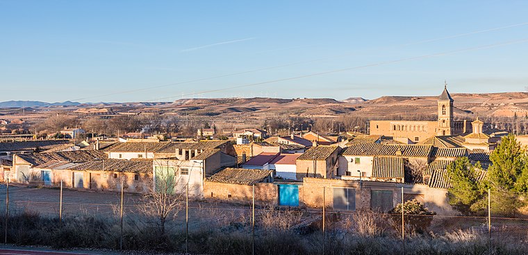
Photo: Wikimedia, CC BY-SA 4.0.
Mozota is a small town and municipality in Zaragoza province 25 km southwest of Zaragoza, Aragon, Spain. Mozota is situated 8 km southwest of El Soto Flores.
Cuarte de Huerva
Town
 Cuarte de Huerva is a municipality located in the province of Zaragoza, Aragon, Spain. According to the 2013 census the municipality has a population of 11,043 inhabitants. It is named after the Huerva River. Cuarte de Huerva is situated 8 km northeast of El Soto Flores.
El Soto Flores
- Type: Locality
- Location: María de Huerva Municipality, Saragossa, Aragon, Northern Spain, Spain, Iberia, Europe
- View on OpenStreetMap
Latitude
41.53264° or 41° 31′ 58″ northLongitude
-1.00039° or 1° 0′ 1″ westOpen location code
8CHWGXMX+3ROpenStreetMap ID
node 1242055780OpenStreetMap feature
place=locality
This page is based on OpenStreetMap, Wikidata, and Wikimedia Commons.
We’d love your help improving our open data sources. Thank you for contributing.
Satellite Map
Discover El Soto Flores from above in high-definition satellite imagery.
Localities in the Area
Explore places such as Huerta Alta and Paso de Los Carros.
Notable Places Nearby
Highlights include Cementerio de Maria de Huerva and Parque de Poniente.
Aragon: Must-Visit Destinations
Delve into Zaragoza, Huesca, Teruel, and Calatayud.
Curious Localities to Discover
Uncover intriguing localities from every corner of the globe.
About Mapcarta. Data © OpenStreetMap contributors and available under the Open Database License". Text is available under the CC BY-SA 4.0 license, except for photos, directions, and the map. Photo: Jiuguang Wang, CC BY-SA 3.0 es.