Cerro del Calar
Cerro del Calar is a peak in Níjar, Almería, Andalusia and has an elevation of 267 metres. Cerro del Calar is situated nearby to the locality Bornos, as well as near El Madroñal.| Tap on a place to explore it |
Places of Interest
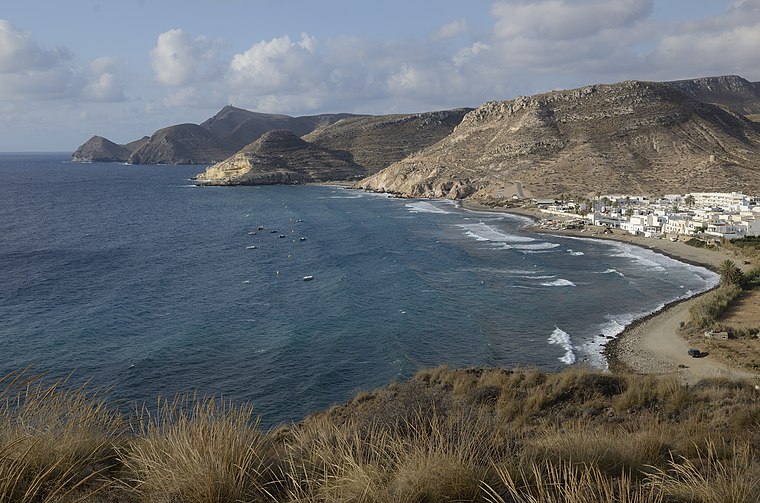
Highlights include Playa de las Negras and Castillo de San Ramón.
Castillo de San Ramón
Castle

Photo: agracier - NO VIEWS, CC BY-SA 3.0.
Castillo de San Ramón is a castle.
Minas de oro de Rodalquilar
Mine

Photo: Hanarko, CC BY-SA 4.0.
Minas de oro de Rodalquilar is a mine.
Places in the Area
Nearby places include Rodalquilar.

Cerro del Calar
Latitude
36.8892° or 36° 53′ 21″ northLongitude
-2.0312° or 2° 1′ 52″ westElevation
267 metres (876 feet)Open location code
8C8VVXQ9+MGOpenStreetMap ID
node 1242356695OpenStreetMap feature
natural=peak
This page is based on OpenStreetMap, Wikidata, and Wikimedia Commons.
We’d love your help improving our open data sources. Thank you for contributing.
Satellite Map
Discover Cerro del Calar from above in high-definition satellite imagery.
Places with the Same Name
Discover other places named “Cerro del Calar”.
Localities in the Area
Explore places such as Bornos and El Madroñal.
Notable Places Nearby
Highlights include Cerro de las Bolinas and Cerro de la Viuda.
Almería: Must-Visit Destinations
Delve into Almería, Sierra Nevada, Roquetas de Mar, and Adra.
Curious Peaks to Discover
Uncover intriguing peaks from every corner of the globe.
About Mapcarta. Data © OpenStreetMap contributors and available under the Open Database License". Text is available under the CC BY-SA 4.0 license, except for photos, directions, and the map. Photo: Baldomorejon, CC BY-SA 3.0 es.