Los Arenalillos
Los Arenalillos is a locality in Pechina, Almería, Andalusia. Los Arenalillos is situated nearby to the locality Peñón de López, as well as near Loma Larga.| Tap on a place to explore it |
Places of Interest
Highlights include ‘Álvarez de Sotomayor’ military base.
‘Álvarez de Sotomayor’ military base
Barracks
 ‘Álvarez de Sotomayor’ military base is a barracks, which is situated 3½ km southwest of Los Arenalillos.
Places in the Area
Nearby places include Sierra Alhamilla and Viator.
Sierra Alhamilla
Hamlet

Photo: medinamd, CC BY-SA 3.0.
Sierra Alhamilla is a hamlet, which is situated 4 km north of Los Arenalillos.
Viator
Village
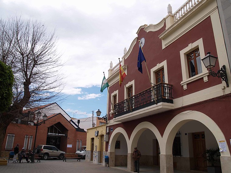
Photo: Wikimedia, CC BY-SA 4.0.
Viator is a municipality of Almería province, in the autonomous community of Andalusia, Spain. José Brocca lived here. Viator is situated 5 km southwest of Los Arenalillos.
Huércal de Almería
Village

Photo: Rubén.huercaldealmeria, CC BY-SA 4.0.
Huércal de Almería is a municipality of Almería province, in the autonomous community of Andalusia, Spain. Huércal de Almería is situated 6 km southwest of Los Arenalillos.
Los Arenalillos
Latitude
36.92324° or 36° 55′ 24″ northLongitude
-2.3892° or 2° 23′ 21″ westOpen location code
8C8VWJF6+78OpenStreetMap ID
node 1242375918OpenStreetMap feature
place=locality
This page is based on OpenStreetMap, Wikidata, and Wikimedia Commons.
We’d love your help improving our open data sources. Thank you for contributing.
Satellite Map
Discover Los Arenalillos from above in high-definition satellite imagery.
Localities in the Area
Explore places such as Peñón de López and Loma Larga.
Notable Places Nearby
Highlights include Campamento y Campo de Tiro y Maniobras Álvarez de Sotomayor and Puente de Espinaza.
Almería: Must-Visit Destinations
Delve into Almería, Sierra Nevada, Roquetas de Mar, and Adra.
Curious Localities to Discover
Uncover intriguing localities from every corner of the globe.
About Mapcarta. Data © OpenStreetMap contributors and available under the Open Database License". Text is available under the CC BY-SA 4.0 license, except for photos, directions, and the map. Photo: isol, CC BY-SA 3.0.