Cortijo de los Jaros
Cortijo de los Jaros is a locality in Lorca, Murcia, Murcia. Cortijo de los Jaros is situated nearby to the locality Común de Hoyos, as well as near Los Panochos.| Tap on a place to explore it |
Places of Interest
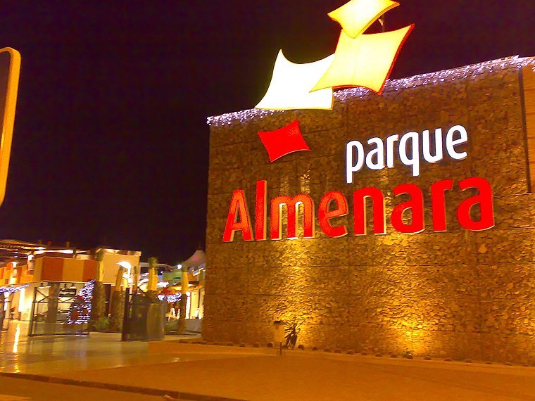
Highlights include Estadio Francisco Artés Carrasco and Parque Almenara Shopping Center.
Estadio Francisco Artés Carrasco
Stadium

Photo: Awuachumele, Public domain.
Estadio Francisco Artes Carrasco is a multi-use stadium in Lorca, Spain. It is currently used mostly for football matches and is the former home ground of Lorca Deportiva CF.
Tower of Torrecilla
Tower

Photo: Oliverelingeniero, CC BY-SA 4.0.
Tower of Torrecilla is situated 3 km northwest of Cortijo de los Jaros.
Places in the Area
Nearby places include Sutullena.
Sutullena
Neighborhood

Photo: Falk2, CC BY-SA 4.0.
Sutullena was a village in Murcia, Spain and is now a southern hamlet in the city of Lorca. It is part of the municipality of Lorca. Sutullena is located adjacent to the hamlets of Tiata, Campillo and Torrecilla. Sutullena is situated 5 km northeast of Cortijo de los Jaros.
Cortijo de los Jaros
- Type: Locality
- Location: Lorca, Murcia, Murcia, Eastern Spain, Spain, Iberia, Europe
- View on OpenStreetMap
Latitude
37.62475° or 37° 37′ 29″ northLongitude
-1.71909° or 1° 43′ 9″ westOpen location code
8C9WJ7FJ+W9OpenStreetMap ID
node 1243064155OpenStreetMap feature
place=locality
This page is based on OpenStreetMap, Wikidata, and Wikimedia Commons.
We’d love your help improving our open data sources. Thank you for contributing.
Satellite Map
Discover Cortijo de los Jaros from above in high-definition satellite imagery.
Localities in the Area
Explore places such as Común de Hoyos and Los Panochos.
Notable Places Nearby
Highlights include Ermita de la Sagrada Familia and Campo José Miñarro.
Murcia: Must-Visit Destinations
Delve into Cartagena, Caravaca de la Cruz, and La Manga.
Curious Localities to Discover
Uncover intriguing localities from every corner of the globe.
About Mapcarta. Data © OpenStreetMap contributors and available under the Open Database License". Text is available under the CC BY-SA 4.0 license, except for photos, directions, and the map. Photo: Wikimedia, CC BY-SA 3.0.