Cañada de Hurtado
Cañada de Hurtado is a locality in Molina de Segura, Murcia, Murcia. Cañada de Hurtado is situated nearby to the neighborhood Estación de Archena, as well as near the locality Loma Larga.| Tap on a place to explore it |
Places in the Area
Nearby places include Archena and Lorquí.
Archena
Town
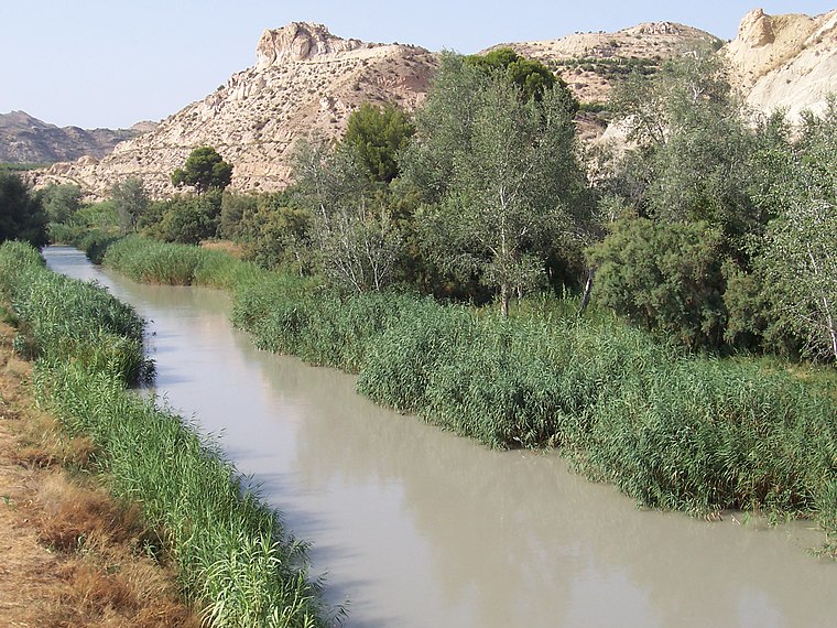
Photo: Wikimedia, CC BY-SA 3.0.
Archena is a municipality in the Region of Murcia, Spain, located in its northeastern part. It has a population of 20,976 and covers an area of 16.5 km2. Archena is situated 7 km west of Cañada de Hurtado.
Lorquí
Town

Photo: Pedro J Pacheco, CC BY-SA 4.0.
Lorquí is a Spanish municipality in the autonomous community of Murcia. It has a population of 6,493 and an area of 15 km2. Lorquí is situated 7 km south of Cañada de Hurtado.
Ceutí
Town

Photo: Ceutiense1, CC BY-SA 4.0.
Ceutí is a municipality in the autonomous region of Murcia in southeastern Spain and is located in the south-east of the northeasternquarter of the Region. As of 2021, there are 12,199 inhabitants. Ceutí is situated 8 km southwest of Cañada de Hurtado.
Cañada de Hurtado
- Type: Locality
- Location: Molina de Segura, Murcia, Murcia, Eastern Spain, Spain, Iberia, Europe
- View on OpenStreetMap
Latitude
38.1389° or 38° 8′ 20″ northLongitude
-1.23223° or 1° 13′ 56″ westOpen location code
8CCW4QQ9+H4OpenStreetMap ID
node 1243068378OpenStreetMap feature
place=locality
This page is based on OpenStreetMap, Wikidata, and Wikimedia Commons.
We’d love your help improving our open data sources. Thank you for contributing.
Satellite Map
Discover Cañada de Hurtado from above in high-definition satellite imagery.
Localities in the Area
Explore places such as Estación de Archena and Loma Larga.
Notable Places Nearby
Highlights include Estación de Archena-Fortuna and Plaza San Isidro Labrador.
Murcia: Must-Visit Destinations
Delve into Cartagena, Lorca, Caravaca de la Cruz, and La Manga.
Curious Localities to Discover
Uncover intriguing localities from every corner of the globe.
About Mapcarta. Data © OpenStreetMap contributors and available under the Open Database License". Text is available under the CC BY-SA 4.0 license, except for photos, directions, and the map. Photo: Tango7174, CC BY-SA 4.0.