Valcebrera
Valcebrera is a locality in Viana, Navarre. Valcebrera is situated nearby to the locality El Espinal, as well as near Pamperdute.| Tap on a place to explore it |
Places of Interest
Highlights include Logroño-Agoncillo Airport and Train station of Recajo.
Logroño-Agoncillo Airport
Aerodrome

Photo: Jynus, CC BY-SA 4.0.
Logroño–Agoncillo Airport is the airport serving Logroño in the autonomous community of La Rioja, Spain. Logroño-Agoncillo Airport is situated 4 km southeast of Valcebrera.
Train station of Recajo
Railway station

Photo: Juanje 2712, CC BY-SA 4.0.
Train station of Recajo is a railway station, which is situated 3½ km southeast of Valcebrera.
La Custodia
Archaeological site

Photo: Lozano Manzanedo, CC BY-SA 4.0.
La Custodia is an archaeological site, which is situated 4 km northwest of Valcebrera.
Places in the Area
Nearby places include Recajo and Varea.
Recajo
Hamlet
Photo: Juanje 2712, CC BY-SA 4.0.
Recajo is a village within Agoncillo municipality in La Rioja province in northern Spain. It is located south of a bend on the Ebro River, about 4 km to the west of Agoncillo. Recajo has a population of 91 according to the 2010 census. Recajo is situated 3½ km southeast of Valcebrera.
Varea
Suburb

Photo: Pigmentoazul, CC BY-SA 4.0.
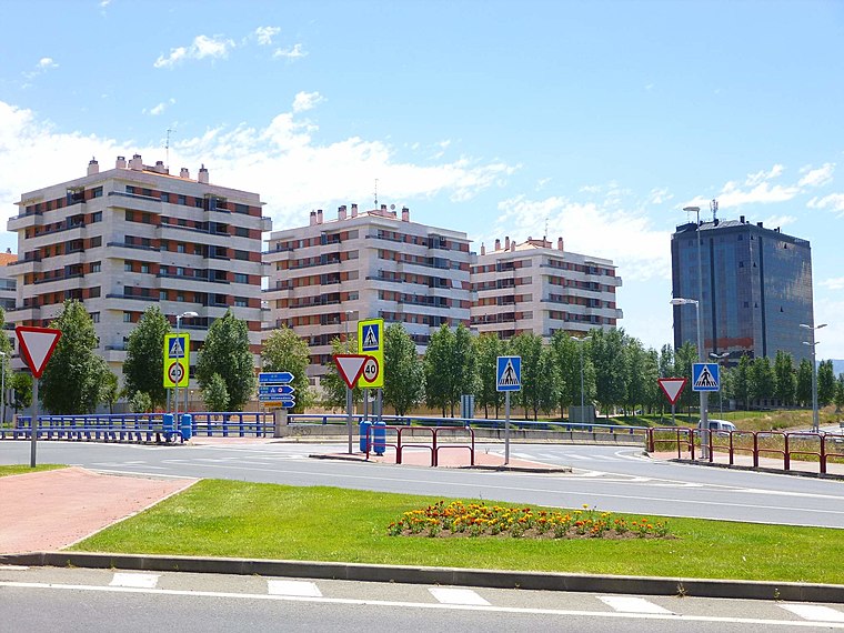
Varea is a village in the municipality of Logroño, in the province and autonomous community of La Rioja, Spain. As of 2018 it had a population of 1866 people. Varea is situated 4½ km west of Valcebrera.
Valcebrera
- Type: Locality
- Location: Viana, Navarre, Northern Spain, Spain, Iberia, Europe
- View on OpenStreetMap
Latitude
42.47604° or 42° 28′ 34″ northLongitude
-2.36129° or 2° 21′ 41″ westOpen location code
8CJVFJGQ+CFOpenStreetMap ID
node 1243104797OpenStreetMap feature
place=locality
This page is based on OpenStreetMap, Wikidata, and Wikimedia Commons.
We’d love your help improving our open data sources. Thank you for contributing.
Satellite Map
Discover Valcebrera from above in high-definition satellite imagery.
Localities in the Area
Explore places such as El Espinal and Pamperdute.
Notable Places Nearby
Highlights include Central Hidráulica de Viana II and Central Hidráulica de Viana I Recajo.
Navarre: Must-Visit Destinations
Delve into Pamplona, Roncesvalles, and Uterga.
Curious Localities to Discover
Uncover intriguing localities from every corner of the globe.
About Mapcarta. Data © OpenStreetMap contributors and available under the Open Database License". Text is available under the CC BY-SA 4.0 license, except for photos, directions, and the map. Photo: Artsuaga, CC BY-SA 3.0.