Llanada del Chopo
Llanada del Chopo is a locality in Monachil, Granada, Andalusia. Llanada del Chopo is situated nearby to the locality Tajo de la Sabina, as well as near Cueva de las Palomas.| Tap on a place to explore it |
Places in the Area
Nearby places include La Zubia and Huétor Vega.
La Zubia
Town

Photo: Wikimedia, CC BY-SA 4.0.
La Zubia is a municipality located in the province of Granada, Spain. According to the 2010 census, the city has a population of 18,240 inhabitants. La Zubia is situated 7 km west of Llanada del Chopo.
Huétor Vega
Town

Photo: Lopezsuarez, CC0.
Huétor Vega is a town, which is situated 7 km northwest of Llanada del Chopo.
Lancha del Genil
Village
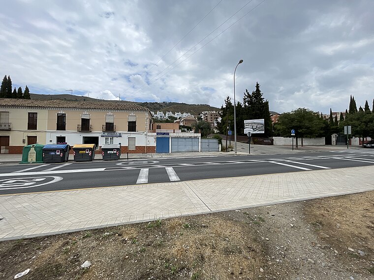
Photo: Fergunet, CC BY-SA 3.0.
Lancha del Genil is a village, which is situated 8 km northwest of Llanada del Chopo.
Llanada del Chopo
Latitude
37.10119° or 37° 6′ 4″ northLongitude
-3.50699° or 3° 30′ 25″ westOpen location code
8C9R4F2V+F6OpenStreetMap ID
node 1243292523OpenStreetMap feature
place=locality
This page is based on OpenStreetMap, Wikidata, and Wikimedia Commons.
We’d love your help improving our open data sources. Thank you for contributing.
Satellite Map
Discover Llanada del Chopo from above in high-definition satellite imagery.
Localities in the Area
Explore places such as Tajo de la Sabina and Cueva de las Palomas.
Notable Places Nearby
Highlights include Cerro Huenes and Cerro de las Minas.
Granada: Must-Visit Destinations
Delve into Granada, Almuñécar, Alhama de Granada, and Portugos.
Curious Localities to Discover
Uncover intriguing localities from every corner of the globe.
About Mapcarta. Data © OpenStreetMap contributors and available under the Open Database License". Text is available under the CC BY-SA 4.0 license, except for photos, directions, and the map. Photo: Tango7174, CC BY-SA 4.0.