Corral de Jaume
Corral de Jaume is a locality in Guadassuar Municipality, Valencia, Valencian Community. Corral de Jaume is situated nearby to the locality el Tislar, as well as near Tros Alt.| Tap on a place to explore it |
Places in the Area
Nearby places include Benimodo Municipality and Carlet.
Benimodo Municipality
Village

Photo: 19Tarrestnom65, CC BY-SA 4.0.
Benimodo is a municipality in the comarca of Ribera Alta in the Valencian Community, Spain. Benimodo Municipality is situated 4½ km east of Corral de Jaume.
Carlet
Town
Carlet is a municipality in the comarca of Ribera Alta in the Valencian Community, Spain. Carlet is situated 5 km northeast of Corral de Jaume.
L’Alcúdia
Town
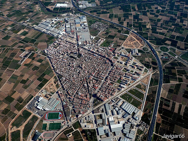
Photo: Javigar, CC BY-SA 4.0.
L'Alcúdia is a town and municipality in the province of Valencia, Spain. It is located on the left bank of the river Xúquer. L’Alcúdia is situated 6 km east of Corral de Jaume.
Corral de Jaume
- Type: Locality
- Location: Guadassuar Municipality, Valencia, Valencian Community, Eastern Spain, Spain, Iberia, Europe
- View on OpenStreetMap
Latitude
39.20628° or 39° 12′ 23″ northLongitude
-0.57542° or 0° 34′ 32″ westOpen location code
8CFX6C4F+GROpenStreetMap ID
node 1243376906OpenStreetMap feature
place=locality
This page is based on OpenStreetMap, Wikidata, and Wikimedia Commons.
We’d love your help improving our open data sources. Thank you for contributing.
Satellite Map
Discover Corral de Jaume from above in high-definition satellite imagery.
In Other Languages
“Corral de Jaume” goes by many names.
- Catalan: “Corral de Jaume”
Places with the Same Name
Discover other places named “Corral de Jaume”.
Localities in the Area
Explore places such as el Tislar and Tros Alt.
Notable Places Nearby
Highlights include Coves del Truig and Basses de la Mola.
Valencia: Must-Visit Destinations
Delve into Valencia, Sagunto, Gandía, and Xàtiva.
Curious Localities to Discover
Uncover intriguing localities from every corner of the globe.
About Mapcarta. Data © OpenStreetMap contributors and available under the Open Database License". Text is available under the CC BY-SA 4.0 license, except for photos, directions, and the map. Photo: andruby, CC BY 2.0.