El Soto de la Rinconada
El Soto de la Rinconada is a locality in Spain. El Soto de la Rinconada is situated nearby to the locality Estación de Alberche, as well as near El Picón.| Tap on a place to explore it |
Places in the Area
Nearby places include Aldea del Fresno and Villa del Prado.
Aldea del Fresno
Village
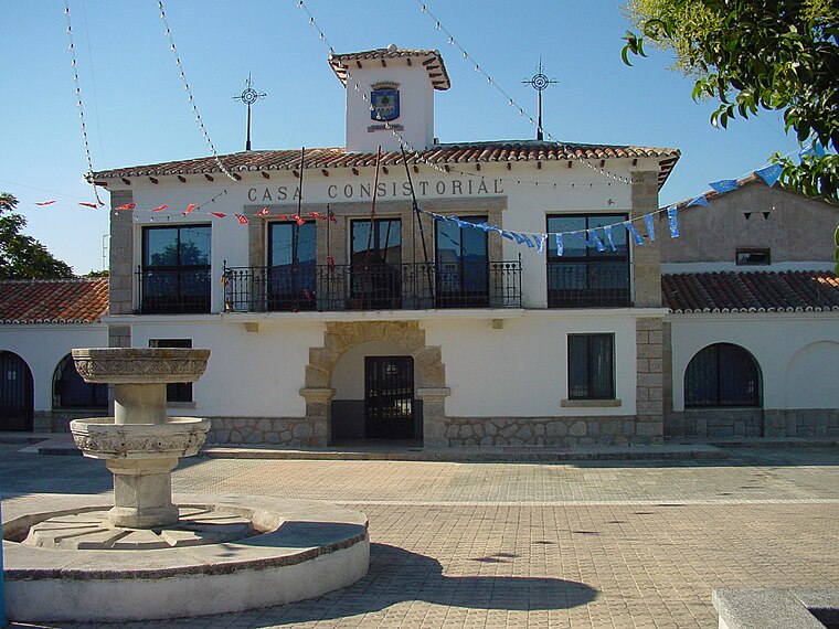
Photo: Wikimedia, CC BY 3.0 es.
Aldea del Fresno is a municipality of the autonomous community of the Community of Madrid in central Spain. Aldea del Fresno goes from north to south along the Alberche river. Aldea del Fresno is situated 4½ km northeast of El Soto de la Rinconada.
Villa del Prado
Village

Photo: Wikimedia, CC BY-SA 3.0.
Villa del Prado is a municipality of the Community of Madrid, Spain. In 2022 it had a population of 7092. Sights include the church of Santiago Apóstol. Villa del Prado is situated 6 km west of El Soto de la Rinconada.
Méntrida
Village

Photo: DANIELMA1993, CC BY-SA 4.0.
Méntrida is a municipality located in the province of Toledo, Castile-La Mancha, Spain. According to the 2006 census, the municipality has a population of 3521 inhabitants. Méntrida is situated 8 km southeast of El Soto de la Rinconada.
El Soto de la Rinconada
- Type: Locality
- Location: Spain, Iberia, Europe
- View on OpenStreetMap
Latitude
40.29644° or 40° 17′ 47″ northLongitude
-4.2395° or 4° 14′ 22″ westOpen location code
8CGQ7QW6+H6OpenStreetMap ID
node 1243414925OpenStreetMap feature
place=locality
This page is based on OpenStreetMap, Wikidata, and Wikimedia Commons.
We’d love your help improving our open data sources. Thank you for contributing.
Satellite Map
Discover El Soto de la Rinconada from above in high-definition satellite imagery.
Localities in the Area
Explore places such as La Rinconada and Estación de Alberche.
Notable Places Nearby
Highlights include Bodegas del Marqués de Griñón and Embalse del Rincón.
Spain: Must-Visit Destinations
Delve into Madrid, Barcelona, Seville, and Valencia.
Curious Localities to Discover
Uncover intriguing localities from every corner of the globe.
About Mapcarta. Data © OpenStreetMap contributors and available under the Open Database License". Text is available under the CC BY-SA 4.0 license, except for photos, directions, and the map. Photo: Poco a poco, CC BY-SA 3.0.