Herrenhalde
Herrenhalde is a locality in Ins, Seeland, Canton of Bern. Herrenhalde is situated nearby to the locality Under der Ryff, as well as near Bir länge Stude.| Tap on a place to explore it |
Places of Interest
Highlights include Ins railway station and Albert Anker Center.
Ins railway station
Railway station
 Ins railway station; is a railway station in the municipality of Ins, in the Swiss canton of Bern. It is located at the junction of standard gauge Bern–Neuchâtel line of BLS AG and the standard gauge Fribourg–Ins line of Swiss Federal Railways.

Müntschemier railway station
Railway station
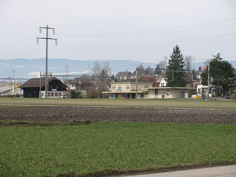
Photo: Zenit, CC BY-SA 3.0.
Müntschemier railway station is a railway station in the municipality of Müntschemier, in the Swiss canton of Bern. It is an intermediate stop on the standard gauge Bern–Neuchâtel line of BLS AG.
Places in the Area
Nearby places include Ins and Müntschemier.
Ins
Village
Ins is a municipality in the Seeland administrative district in the canton of Bern in Switzerland.
Müntschemier
Village
Photo: Zenit, CC BY-SA 3.0.
Müntschemier is a municipality in the Seeland administrative district in the canton of Bern in Switzerland.
Treiten
Village
Treiten is a municipality in the Seeland administrative district in the canton of Bern in Switzerland. Treiten is situated 3½ km northeast of Herrenhalde.
Herrenhalde
- Type: Locality
- Location: Ins, Seeland, Canton of Bern, Switzerland, Central Europe, Europe
- View on OpenStreetMap
Latitude
46.99585° or 46° 59′ 45″ northLongitude
7.12162° or 7° 7′ 18″ eastOpen location code
8FR9X4WC+8JOpenStreetMap ID
node 12438552419OpenStreetMap feature
place=locality
This page is based on OpenStreetMap, Wikidata, and Wikimedia Commons.
We’d love your help improving our open data sources. Thank you for contributing.
Satellite Map
Discover Herrenhalde from above in high-definition satellite imagery.
Localities in the Area
Explore places such as Under der Ryff and Bir länge Stude.
Notable Places Nearby
Highlights include Schalenstein and VII Stunden von Bern.
Switzerland: Must-Visit Destinations
Delve into Zurich, Berne, Geneva, and Basel.
Curious Localities to Discover
Uncover intriguing localities from every corner of the globe.
About Mapcarta. Data © OpenStreetMap contributors and available under the Open Database License". Text is available under the CC BY-SA 4.0 license, except for photos, directions, and the map. Photo: Simonizer, CC BY-SA 2.0 de.