Via Ferrata / Barragem de Santa Luzia
Via Ferrata / Barragem de Santa Luzia is in Cabril, Pampilhosa da Serra Municipality, Coimbra District. Via Ferrata / Barragem de Santa Luzia is situated nearby to the scenic viewpoint Miradouro Sul da Barragem de Santa Luzia, as well as near Santa Luzia Dam.| Tap on a place to explore it |
Places of Interest Nearby
Highlights include Santa Luzia Dam.
Santa Luzia Dam
Dam
 Santa Luzia Dam is a concrete arch dam on the Unhais, a northern tributary of the Zêzere River, located in the municipality Pampilhosa da Serra, in Coimbra District, Portugal. The dam was constructed between 1930 and 1942 and was designed by André Coyne. Santa Luzia Dam is situated 190 metres northwest of Via Ferrata / Barragem de Santa Luzia.
Places in the Area
Nearby places include Unhais-o-Velho and Janeiro de Baixo.
Unhais-o-Velho
Village
 Unhais-o-Velho is a village, which is situated 6 km northeast of Via Ferrata / Barragem de Santa Luzia.
Janeiro de Baixo
Village

Photo: Vitor Oliveira, CC BY-SA 2.0.
Janeiro de Baixo is a village, which is situated 6 km southeast of Via Ferrata / Barragem de Santa Luzia.
Bogas de Baixo
Village
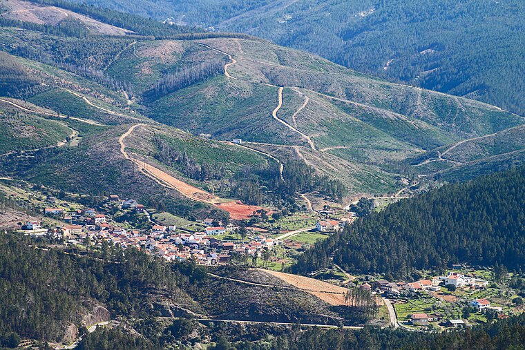
Photo: Vitor Oliveira, CC BY-SA 2.0.
Bogas de Baixo is a village, which is situated 8 km southeast of Via Ferrata / Barragem de Santa Luzia.
Via Ferrata / Barragem de Santa Luzia
- Type: Sign
- Categories: information and tourism
- Location: Cabril, Pampilhosa da Serra Municipality, Coimbra District, Portugal, Iberia, Europe
- View on OpenStreetMap
Latitude
40.08788° or 40° 5′ 16″ northLongitude
-7.8573° or 7° 51′ 26″ westOpen location code
8CGJ34QV+53OpenStreetMap ID
node 12441485723OpenStreetMap feature
tourism=information
This page is based on OpenStreetMap, Wikidata, and Wikimedia Commons.
We’d love your help improving our open data sources. Thank you for contributing.
Satellite Map
Discover Via Ferrata / Barragem de Santa Luzia from above in high-definition satellite imagery.
Notable Places Nearby
Highlights include Miradouro Sul da Barragem de Santa Luzia and Miradouro Norte da Barragem de Santa Luzia.
Nearby Places
Explore places such as As Beiras and Café Santa Luzia.
Portugal: Must-Visit Destinations
Delve into Lisbon, Caldas da Rainha, Porto, and Coimbra.
Curious Places to Discover
Uncover intriguing places from every corner of the globe.
About Mapcarta. Data © OpenStreetMap contributors and available under the Open Database License". Text is available under the CC BY-SA 4.0 license, except for photos, directions, and the map. Photo: Alvesgaspar, CC BY-SA 3.0.