The Free Range Era of Ranching
The Free Range Era of Ranching is a memorial in Lubbock, Texas. The Free Range Era of Ranching is situated nearby to the museum National Ranching Heritage Center, as well as near Moody Planetarium.| Tap on a place to explore it |
Places of Interest Nearby
Highlights include National Ranching Heritage Center and Dan Law Field at Rip Griffin Park.
National Ranching Heritage Center
Museum
The National Ranching Heritage Center, located on the Texas Tech University campus in Lubbock, Texas, is a unique museum dedicated to preserving and celebrating the history and heritage of ranching in the United States.
Dan Law Field at Rip Griffin Park
Stadium

Photo: Wordbuilder, CC BY-SA 3.0.
Dan Law Field at Rip Griffin Park, nicknamed "The Law", is the home stadium of the Texas Tech Red Raiders baseball team in Lubbock, Texas. It is located on the Texas Tech University campus, adjacent to Jones AT&T Stadium and Fuller Track. Dan Law Field at Rip Griffin Park is situated 2,300 feet southeast of The Free Range Era of Ranching.
UMC Health System
Hospital
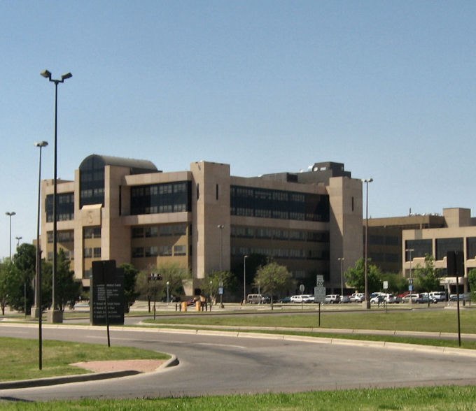
Photo: Elred, Public domain.
University Medical Center in Lubbock, Texas is a public, non-profit 500-bed hospital. UMC is the primary hospital of the MC Health System and is owned by the taxpayers of Lubbock County. It serves as the primary teaching hospital for the Texas Tech University Health Sciences Center. UMC Health System is situated 2,600 feet west of The Free Range Era of Ranching.
Places in the Area
Nearby places include Lubbock.
Lubbock

Photo: Wikimedia, CC BY-SA 3.0.
Lubbock is the largest city in the Panhandle of Texas and serves as the area's agricultural and economic hub. Lubbock, commonly known as the Hub City, is in the center of the South Plains, an expansive cotton-growing region.
The Free Range Era of Ranching
- Type: Memorial
- Category: historic site
- Location: Lubbock, Texas, United States, North America
- View on OpenStreetMap
Latitude
33.59136° or 33° 35′ 29″ northLongitude
-101.88378° or 101° 53′ 2″ westInception
1970Operator
Texas Historical CommissionOpen location code
855WH4R8+GFOpenStreetMap ID
node 12452322452OpenStreetMap feature
historic=memorial
This page is based on OpenStreetMap, Wikidata, and Wikimedia Commons.
We’d love your help improving our open data sources. Thank you for contributing.
Satellite Map
Discover The Free Range Era of Ranching from above in high-definition satellite imagery.
Notable Places Nearby
Highlights include National Ranching Heritage Center and Moody Planetarium.
Nearby Places
Explore places such as Blue Sky Texas and Raiders Pass Front Office.
Texas: Must-Visit Destinations
Delve into Houston, Austin, Dallas, and San Antonio.
Curious Memorials to Discover
Uncover intriguing memorials from every corner of the globe.
About Mapcarta. Data © OpenStreetMap contributors and available under the Open Database License". Text is available under the CC BY-SA 4.0 license, except for photos, directions, and the map. Photo: Wikimedia, CC0.