St. Stephens Catholic Community
St. Stephens Catholic Community is a church in Wilson, Tennessee. St. Stephens Catholic Community is situated nearby to the hamlet Hopewell, as well as near Cedar Grove.| Tap on a place to explore it |
Places of Interest Nearby
Highlights include The Hermitage.
The Hermitage
Protected area
 The Hermitage is a National Historic Landmark and museum located in Davidson County, Tennessee, United States, 10 miles east of downtown Nashville in the neighborhood of Hermitage. The Hermitage is situated 2½ miles west of St. Stephens Catholic Community.
Places in the Area
Nearby places include Mount Juliet and Hopewell.
Mount Juliet
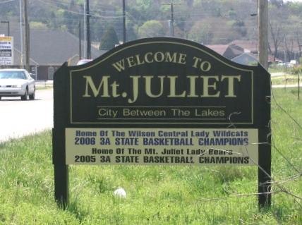
Photo: Ichabod, CC BY-SA 3.0.
Mount Juliet is a town in Central Tennessee. The city had a population of about 39,000 people in 2020.
Hopewell
Hamlet
Hopewell is a neighborhood in Nashville, Davidson County, Tennessee, United States. It lies at an elevation of 472 feet. The role of Hopewell and the manipulation of the votes of its predominantly African-American population for the purposes of early 20th century machine politics in Tennessee is described in The Secrets of the Hopewell Box by James D. Hopewell is situated 3 miles west of St. Stephens Catholic Community.
Cedar Grove
Hamlet
Cedar Grove is an unincorporated community in Wilson County, Tennessee, United States. Cedar Grove is located along the northwestern border of Mt. Juliet. Cedar Grove is situated 3½ miles northeast of St. Stephens Catholic Community.
St. Stephens Catholic Community
- Type: Church
- Categories: place of worship and religion
- Location: Wilson, Tennessee, South, United States, North America
- View on OpenStreetMap
Latitude
36.21846° or 36° 13′ 6″ northLongitude
-86.56979° or 86° 34′ 11″ westOpen location code
868M6C9J+93OpenStreetMap ID
node 12457403387OpenStreetMap feature
amenity=place_of_worship
This page is based on OpenStreetMap, Wikidata, and Wikimedia Commons.
We’d love your help improving our open data sources. Thank you for contributing.
Satellite Map
Discover St. Stephens Catholic Community from above in high-definition satellite imagery.
Notable Places Nearby
Highlights include Willoughby Station Amenity Area and Green Hill Baptist Church.
Nearby Places
Explore places such as The Basement Marketplace and Retail Builders.
Tennessee: Must-Visit Destinations
Delve into Nashville, Memphis, Knoxville, and Chattanooga.
Curious Churches to Discover
Uncover intriguing churches from every corner of the globe.
About Mapcarta. Data © OpenStreetMap contributors and available under the Open Database License". Text is available under the CC BY-SA 4.0 license, except for photos, directions, and the map. Photo: Wikimedia, CC0.