Centro médico Alto do Seixalinho
Centro médico Alto do Seixalinho is a doctor’s office in Barreiro e Lavradio, Barreiro, Setúbal District which is located on Avenida Movimento das Forças Armadas. Centro médico Alto do Seixalinho is situated nearby to the town hall União das Freguesias de Alto do Seixalinho, Santo André e Verderena (Alto do Seixalinho), as well as near the health club Jaf.| Tap on a place to explore it |
Places of Interest Nearby
Highlights include Lavradio train station and Igreja de Santa Maria.
Lavradio train station
Railway station

Photo: Rúdisicyon, CC BY-SA 4.0.
Lavradio train station is a railway station, which is situated 510 metres north of Centro médico Alto do Seixalinho.
Igreja de Santa Maria
Church

Photo: GualdimG, CC BY-SA 4.0.
Igreja de Santa Maria is a church, which is situated 570 metres west of Centro médico Alto do Seixalinho.
Espaço Memória
Museum

Photo: GualdimG, CC BY-SA 4.0.
Espaço Memória is a museum, which is situated 1 km northwest of Centro médico Alto do Seixalinho.
Places in the Area
Nearby places include Freguesia de Baixa da Banheira and Santo André.
Freguesia de Baixa da Banheira
Town
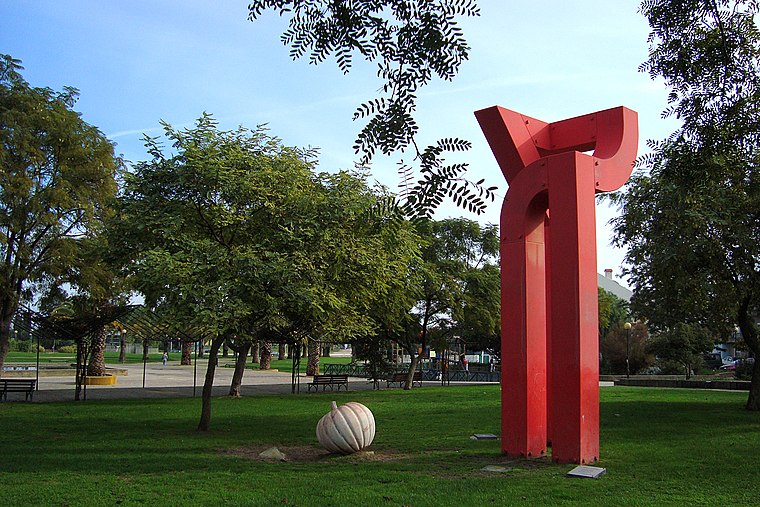
Photo: Xuaxo, CC BY-SA 3.0.
Freguesia de Baixa da Banheira is a town.

Alhos Vedros
Town

Photo: Rúdisicyon, CC BY-SA 4.0.
Alhos Vedros is a town, which is situated 3 km east of Centro médico Alto do Seixalinho.
Centro médico Alto do Seixalinho
- Type: Doctor’s office
- Address: Avenida Movimento das Forças Armadas 75b
- Category: health care
- Location: Barreiro e Lavradio, Barreiro, Setúbal District, Portugal, Iberia, Europe
- View on OpenStreetMap
Latitude
38.65749° or 38° 39′ 27″ northLongitude
-9.06016° or 9° 3′ 37″ westOpen location code
8CCGMW4Q+XWOpenStreetMap ID
node 12509934001OpenStreetMap feature
amenity=doctors
This page is based on OpenStreetMap, Wikidata, and Wikimedia Commons.
We’d love your help improving our open data sources. Thank you for contributing.
Satellite Map
Discover Centro médico Alto do Seixalinho from above in high-definition satellite imagery.
Notable Places Nearby
Highlights include União das Freguesias de Alto do Seixalinho, Santo André e Verderena (Alto do Seixalinho) and Jaf.
Nearby Places
Explore places such as Escolas Secundárias do Alto Seixalinho and Jardim de Infância n.º 3 do Alto do Seixalinho.
Portugal: Must-Visit Destinations
Delve into Lisbon, Caldas da Rainha, Porto, and Coimbra.
Curious Doctor’s Offices to Discover
Uncover intriguing doctor’s offices from every corner of the globe.
About Mapcarta. Data © OpenStreetMap contributors and available under the Open Database License". Text is available under the CC BY-SA 4.0 license, except for photos, directions, and the map. Photo: Vitor Oliveira, CC BY-SA 2.0.