Calle 1326 y Calle 13116
Calle 1326 y Calle 13116 is a bus stop in Rosario Department, Santa Fe. Calle 1326 y Calle 13116 is situated nearby to the town Granadero Baigorria, as well as near the village Ibarlucea.| Tap on a place to explore it |
Places of Interest Nearby
Highlights include Hospital Escuela Eva Perón.
Hospital Escuela Eva Perón
Hospital
Granadero Baigorria is a city in the south of the province of Santa Fe, Argentina, located directly north of Rosario, on the western shore of the Paraná River, and forming part of the Greater Rosario metropolitan area. Hospital Escuela Eva Perón is situated 4 km northeast of Calle 1326 y Calle 13116.
Places in the Area
Nearby places include Granadero Baigorria and Ibarlucea.
Granadero Baigorria
Town

Photo: Egm ar, CC BY-SA 4.0.
Granadero Baigorria is a city in the south of the province of Santa Fe, Argentina, located directly north of Rosario, on the western shore of the Paraná River, and forming part of the Greater Rosario metropolitan area. Granadero Baigorria is situated 3½ km northeast of Calle 1326 y Calle 13116.
Ibarlucea
Village
Ibarlucea is a town in the province of Santa Fe, Argentina. It has 4,402 inhabitants per the 2010 census. It is located on National Route 34, immediately north-west of Rosario, forming part of the Greater Rosario metropolitan area, and 155 km south of the provincial capital Santa Fe. Ibarlucea is situated 5 km northwest of Calle 1326 y Calle 13116.
Capitán Bermúdez
Town
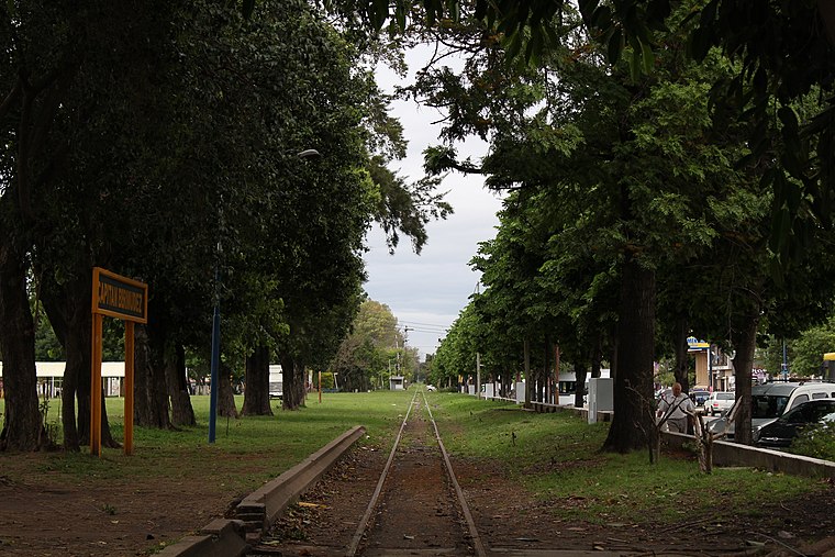
Photo: Sofia cimolai, CC BY-SA 4.0.
Capitán Bermúdez is a city in the province of Santa Fe, Argentina, located within the metropolitan area of Greater Rosario, on the western shore of the Paraná River. Capitán Bermúdez is situated 7 km north of Calle 1326 y Calle 13116.
Calle 1326 y Calle 13116
- Type: Bus stop
- Category: transportation
- Location: Rosario Department, Santa Fe, Pampas, Argentina, South America
- View on OpenStreetMap
Latitude
-32.87357° or 32° 52′ 25″ southLongitude
-60.74068° or 60° 44′ 27″ westOpen location code
47VX47G5+HPOpenStreetMap ID
node 12521572818OpenStreetMap feature
highway=bus_stopOpenStreetMap feature
public_transport=platform
This page is based on OpenStreetMap, Wikidata, and Wikimedia Commons.
We’d love your help improving our open data sources. Thank you for contributing.
Satellite Map
Discover Calle 1326 y Calle 13116 from above in high-definition satellite imagery.
Notable Places Nearby
Highlights include Olympia Fútbol and Parroquia Maria de Nazaret.
Nearby Places
Explore places such as Calle 1326 y Calle 13116 and Calle 1326 y Calle 13114.
Curious Bus Stops to Discover
Uncover intriguing bus stops from every corner of the globe.
About Mapcarta. Data © OpenStreetMap contributors and available under the Open Database License". Text is available under the CC BY-SA 4.0 license, except for photos, directions, and the map. Photo: Wikimedia, CC0.