The Sportsmans Rest
The Sportsmans Rest is a pub in County Cork, Munster. The Sportsmans Rest is situated nearby to Ballinhassig Post Office, as well as near Warrior Martial Arts Ballinhassig.| Tap on a place to explore it |
Places of Interest Nearby
Highlights include Ballinhassig railway station.
Ballinhassig railway station
Historic site
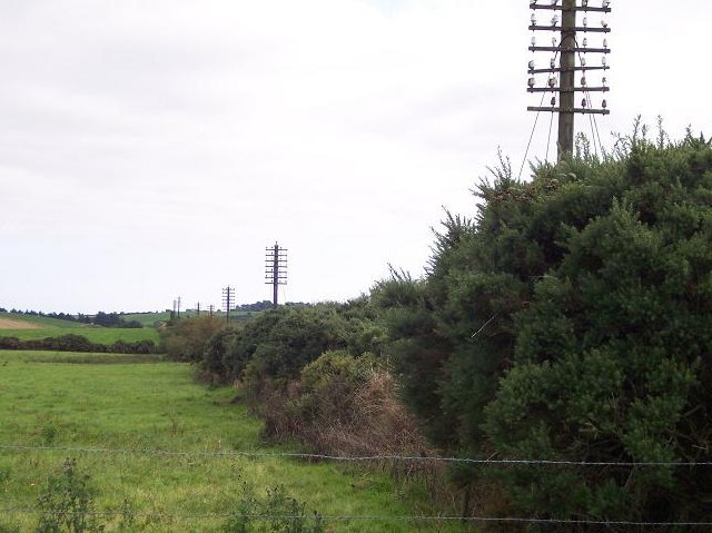
Photo: Ralph Rawlinson, CC BY-SA 2.0.
Ballinhassig railway station was on the Cork and Bandon Railway in County Cork, Ireland. Ballinhassig railway station is situated 2 km west of The Sportsmans Rest.
Places in the Area
Nearby places include Ballinhassig and Halfway.
Ballinhassig
Village
Ballinhassig is a village in County Cork, Ireland, 10 km south of Cork city just off the N71 Bandon road and near the source of the River Owenabue. Traditionally an agricultural area, Ballinhassig has seen some growth as a commuter area, being close to Cork city.
Halfway
Hamlet

Photo: Ralph Rawlinson, CC BY-SA 2.0.
Halfway is a village in County Cork, in Ireland. Halfway got its name from being situated approximately halfway between Cork City and Bandon. Halfway is situated on the L2231, just off the N71, close to the neighbouring village of Ballinhassig. Halfway is situated 3 km west of The Sportsmans Rest.
Ballygarvan
Village

Photo: Neil Theasby, CC BY-SA 2.0.
Ballygarvan is a village in County Cork, Ireland. It lies 9 km south of Cork City. The village had a population of 556 inhabitants as of the 2022 census. Ballygarvan is situated 5 km east of The Sportsmans Rest.
The Sportsmans Rest
- Type: Pub
- Location: County Cork, Munster, Southwest Ireland, Ireland, Britain and Ireland, Europe
- View on OpenStreetMap
Latitude
51.81176° or 51° 48′ 42″ northLongitude
-8.53028° or 8° 31′ 49″ westOpen location code
9C3HRF69+PVOpenStreetMap ID
node 12545996931OpenStreetMap feature
amenity=pub
This page is based on OpenStreetMap, Wikidata, and Wikimedia Commons.
We’d love your help improving our open data sources. Thank you for contributing.
Satellite Map
Discover The Sportsmans Rest from above in high-definition satellite imagery.
Places with the Same Name
Discover other places named “The Sportsmans Rest”.
Notable Places Nearby
Highlights include Ballinhassig Post Office and Warrior Martial Arts Ballinhassig.
Nearby Places
Explore places such as Gala and Village Medical Centre.
County Cork: Must-Visit Destinations
Delve into Cork, Cobh, Kinsale, and Mallow.
Curious Pubs to Discover
Uncover intriguing pubs from every corner of the globe.
About Mapcarta. Data © OpenStreetMap contributors and available under the Open Database License". Text is available under the CC BY-SA 4.0 license, except for photos, directions, and the map. Photo: Wikimedia, CC BY-SA 3.0.