Κάλλη Σοφία
Κάλλη Σοφία is a supermarket in Agrinio, West Central Greece, West Greece. Κάλλη Σοφία is situated nearby to the church Αγιος Δημήτριος, as well as near the pitch Γήπεδο Νεάπολης.| Tap on a place to explore it |
Places of Interest Nearby
Highlights include Stratos dam.
Stratos dam
Dam
The Stratos Hydroelectric Dam is a dam on the river Acheloos in Aetolia-Acarnania, western Greece. It is situated just east of the village Stratos, and 9 km northwest of Agrinio. Stratos dam is situated 2½ km west of Κάλλη Σοφία.
Places in the Area
Nearby places include Triantaiika and Stratos.
Triantaiika
Village
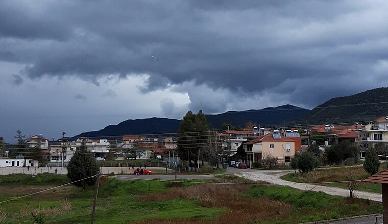
Photo: GeoAgrin, CC BY-SA 4.0.
Triantaiika is a village, which is situated 3 km southeast of Κάλλη Σοφία.
Stratos
Village
Stratos is a settlement in central Aetolia-Acarnania, Western Greece. It is best known for its remains of the namesake ancient Greek city and capital of Acarnania, which lie on a hillside about 500m north of the modern village. Stratos is situated 4½ km west of Κάλλη Σοφία.
Octhia
Village
Ochthia is an Aromanian village and a community of the Agrinio municipality. Before the 2011 local government reform it was part of the municipality Stratos, of which it was a municipal district. Octhia is situated 7 km west of Κάλλη Σοφία.
Κάλλη Σοφία
- Opening hours: 7:00 AM—9:00 PM
- Type: Supermarket
- Categories: shop and food
- Location: Agrinio, West Central Greece, West Greece, Central Greece, Greece, Balkans, Europe
- View on OpenStreetMap
Latitude
38.67466° or 38° 40′ 29″ northLongitude
21.3622° or 21° 21′ 44″ eastOpen location code
8GC3M9F6+VVOpenStreetMap ID
node 12553952895OpenStreetMap feature
shop=supermarket
This page is based on OpenStreetMap, Wikidata, and Wikimedia Commons.
We’d love your help improving our open data sources. Thank you for contributing.
Satellite Map
Discover Κάλλη Σοφία from above in high-definition satellite imagery.
Notable Places Nearby
Highlights include Αγιος Δημήτριος and Γήπεδο Νεάπολης.
Nearby Places
Explore places such as New York and REVOIL.
West Central Greece: Must-Visit Destinations
Delve into Delphi, Thebes, Lamia, and Itea.
Curious Supermarkets to Discover
Uncover intriguing supermarkets from every corner of the globe.
About Mapcarta. Data © OpenStreetMap contributors and available under the Open Database License". Text is available under the CC BY-SA 4.0 license, except for photos, directions, and the map. Photo: Wikimedia, CC0.