Camping Municipal La Forge
Camping Municipal La Forge is a campsite in Saignelégier, Franches-Montagnes District, Canton of Jura which is located on 24 Rte de la Forge. Camping Municipal La Forge is situated nearby to the scenic viewpoint Rocher du Singe, as well as near the cave Grotte du Bief Parou.| Tap on a place to explore it |
Places of Interest Nearby
Highlights include Église Notre-Dame-de-la-Nativité Goumois and Chapelle Saint-Roch d’Urtière.
Église Notre-Dame-de-la-Nativité Goumois
Church

Photo: Badener, CC BY-SA 3.0.
Église Notre-Dame-de-la-Nativité Goumois is a church, which is situated 1 km south of Camping Municipal La Forge.
Chapelle Saint-Roch d’Urtière
Church

Photo: Sacamol, CC BY-SA 3.0.
Chapelle Saint-Roch d’Urtière is a church, which is situated 2½ km southwest of Camping Municipal La Forge.
Saignelégier railway station
Railway station

Photo: Wikimedia, CC BY-SA 3.0.
Saignelégier railway station is a railway station in the municipality of Saignelégier, in the Swiss canton of Jura. It is located on the 1,000 mm La Chaux-de-Fonds–Glovelier line of the Chemins de fer du Jura. Saignelégier railway station is situated 3½ km southeast of Camping Municipal La Forge.
Places in the Area
Nearby places include Goumois and Urtière.
Urtière
Village

Photo: JGS25, CC BY-SA 4.0.
Urtière is a commune in the Doubs department in the Bourgogne-Franche-Comté region in eastern France.
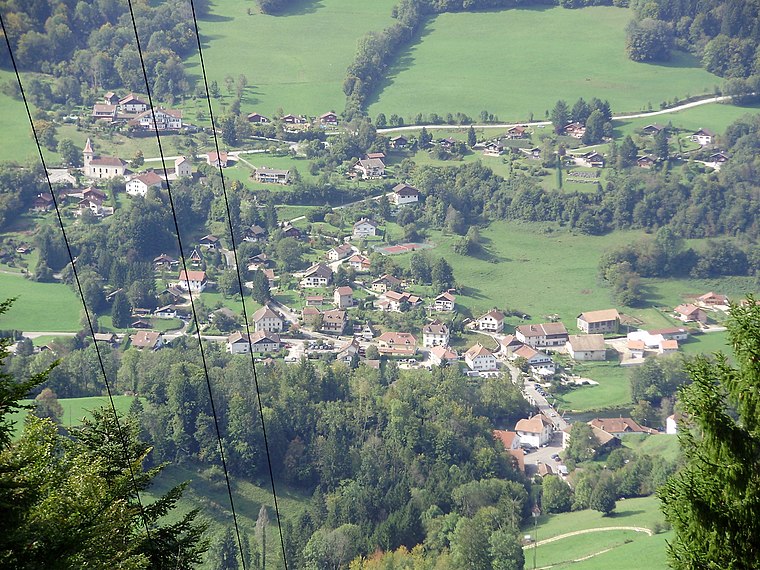
Les Pommerats
Village

Photo: Jeanz744, CC BY-SA 3.0.
Les Pommerats is a municipality in the district of Franches-Montagnes in the canton of Jura in Switzerland. On 1 January 2009, the formerly independent municipalities of Goumois and Les Pommerats merged into Saignelégier. Les Pommerats is situated 2½ km east of Camping Municipal La Forge.
Camping Municipal La Forge
- Type: Campsite
- Address: 24 Rte de la Forge, Goumois, 25470
- Categories: tourism and camping
- Location: Saignelégier, Franches-Montagnes District, Canton of Jura, Switzerland, Central Europe, Europe
- View on OpenStreetMap
Latitude
47.26974° or 47° 16′ 11″ northLongitude
6.95087° or 6° 57′ 3″ eastOpen location code
8FV87X92+V8OpenStreetMap ID
node 12563463274OpenStreetMap feature
tourism=camp_site
This page is based on OpenStreetMap, Wikidata, and Wikimedia Commons.
We’d love your help improving our open data sources. Thank you for contributing.
Satellite Map
Discover Camping Municipal La Forge from above in high-definition satellite imagery.
Notable Places Nearby
Highlights include Rocher du Singe and Grotte du Bief Parou.
Nearby Places
Explore places such as Camping Municipal La Forge and Réserve naturelle du Doubs.
Switzerland: Must-Visit Destinations
Delve into Zurich, Berne, Geneva, and Basel.
Curious Campsites to Discover
Uncover intriguing campsites from every corner of the globe.
About Mapcarta. Data © OpenStreetMap contributors and available under the Open Database License". Text is available under the CC BY-SA 4.0 license, except for photos, directions, and the map. Photo: Simonizer, CC BY-SA 2.0 de.