Agencia de Desarrollo Local de Santa Cruz de Bezana
Agencia de Desarrollo Local de Santa Cruz de Bezana is a government office in Santa Cruz de Bezana, Cantabria. Agencia de Desarrollo Local de Santa Cruz de Bezana is situated nearby to the public building Edificio RADA, as well as near the ruins Antiguos cilindros para la vid.| Tap on a place to explore it |
Places of Interest Nearby
Highlights include Bezana and Parque de bomberos de Santander.
Bezana
Railway station

Photo: Vanbasten 23, CC BY-SA 3.0.
Bezana is a railway station, which is situated 1¼ km south of Agencia de Desarrollo Local de Santa Cruz de Bezana.
Parque de bomberos de Santander
Fire station

Photo: Vanbasten 23, CC BY-SA 3.0.
Parque de bomberos de Santander is a fire station, which is situated 2 km southeast of Agencia de Desarrollo Local de Santa Cruz de Bezana.
Parque Científico y Tecnológico de Cantabria

Photo: AGC Glass Europe, CC BY 2.0.
Parque Científico y Tecnológico de Cantabria is situated 2 km east of Agencia de Desarrollo Local de Santa Cruz de Bezana.
Places in the Area
Nearby places include Sancibrián and Soto de la Marina.

Soto de la Marina
Village
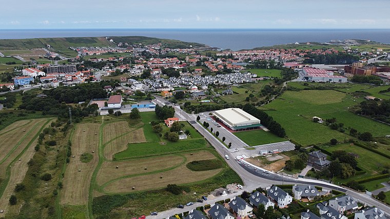
Photo: Luis Fermín TURIEL PEREDO, CC BY-SA 4.0.
Soto de la Marina is a village.

Agencia de Desarrollo Local de Santa Cruz de Bezana
- Type: Government office
- Categories: office and government building
- Location: Santa Cruz de Bezana, Cantabria, Green Spain, Spain, Iberia, Europe
- View on OpenStreetMap
Latitude
43.45072° or 43° 27′ 3″ northLongitude
-3.89467° or 3° 53′ 41″ westOpen location code
8CMRF424+74OpenStreetMap ID
node 12581766494OpenStreetMap feature
office=government
This page is based on OpenStreetMap, Wikidata, and Wikimedia Commons.
We’d love your help improving our open data sources. Thank you for contributing.
Satellite Map
Discover Agencia de Desarrollo Local de Santa Cruz de Bezana from above in high-definition satellite imagery.
Notable Places Nearby
Highlights include Edificio RADA and Antiguos cilindros para la vid.
Nearby Places
Explore places such as Naves municipales (RADA) and Barrio Bezanía.
Cantabria: Must-Visit Destinations
Delve into Santander, Santillana del Mar, Castro Urdiales, and Valles Pasiegos.
Curious Government Offices to Discover
Uncover intriguing government offices from every corner of the globe.
About Mapcarta. Data © OpenStreetMap contributors and available under the Open Database License". Text is available under the CC BY-SA 4.0 license, except for photos, directions, and the map. Photo: Adbar, CC BY-SA 3.0.