Montañeta del Jarde
Montañeta del Jarde is a peak in Antigua, Las Palmas and has an elevation of 194 metres. Montañeta del Jarde is situated nearby to the hamlet Las Pocetas, as well as near the suburb Valles de Ortega.| Tap on a place to explore it |
Places of Interest
Highlights include Windmill at La Corte and Iglesia de Nuestra Señora de la Antigua.

Iglesia de Nuestra Señora de la Antigua
Church
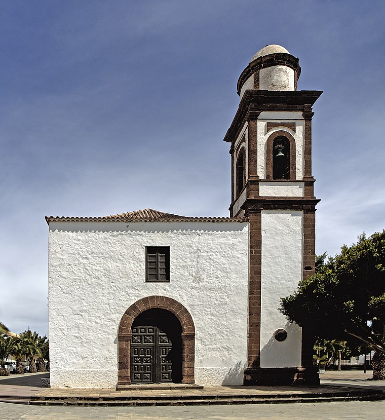
Photo: Llez, CC BY-SA 3.0.
Iglesia de Nuestra Señora de la Antigua is a church.

Places in the Area
Nearby places include Antigua.
Antigua
Town

Photo: Wikimedia, CC BY-SA 3.0.
Antigua is a town and a municipality in the central part of the island of Fuerteventura in the Province of Las Palmas in the Canary Islands. It has a population of 11,629, and an area of 250.56 km2.
Montañeta del Jarde
- Type: Peak with an elevation of 194 metres
- Category: landform
- Location: Antigua, Las Palmas, Canary Islands, Spain, Iberia, Europe
- View on OpenStreetMap
Latitude
28.3958° or 28° 23′ 45″ northLongitude
-13.987° or 13° 59′ 13″ westElevation
194 metres (636 feet)Open location code
7CW892W7+85OpenStreetMap ID
node 12592825419OpenStreetMap feature
natural=peak
This page is based on OpenStreetMap, Wikidata, and Wikimedia Commons.
We’d love your help improving our open data sources. Thank you for contributing.
Satellite Map
Discover Montañeta del Jarde from above in high-definition satellite imagery.
Localities in the Area
Explore places such as Las Pocetas and Valles de Ortega.
Notable Places Nearby
Highlights include El Jarde Aerodrome and Ermita de San Francisco Javier.
Canary Islands: Must-Visit Destinations
Delve into Santa Cruz de Tenerife, Las Palmas, La Palma, and La Gomera.
Curious Peaks to Discover
Uncover intriguing peaks from every corner of the globe.
About Mapcarta. Data © OpenStreetMap contributors and available under the Open Database License". Text is available under the CC BY-SA 4.0 license, except for photos, directions, and the map. Photo: Wikimedia, CC BY-SA 4.0.