Risco Bermejo
Risco Bermejo is a peak in La Orotava, Santa Cruz de Tenerife and has an elevation of 1,232 metres. Risco Bermejo is situated nearby to the locality Morra del Caracol, as well as near Peñón del Contador.| Tap on a place to explore it |
Places in the Area
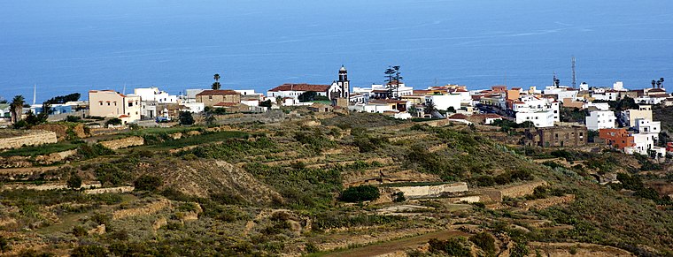
Nearby places include Villa de Arico and Arico Viejo.

Risco Bermejo
- Type: Peak with an elevation of 1,232 metres
- Category: landform
- Location: La Orotava, Santa Cruz de Tenerife, Tenerife, Canary Islands, Spain, Iberia, Europe
- View on OpenStreetMap
Latitude
28.1942° or 28° 11′ 39″ northLongitude
-16.541° or 16° 32′ 28″ westElevation
1,232 metres (4,042 feet)Open location code
7CW55FV5+MHOpenStreetMap ID
node 12599320723OpenStreetMap feature
natural=peak
This page is based on OpenStreetMap, Wikidata, and Wikimedia Commons.
We’d love your help improving our open data sources. Thank you for contributing.
Satellite Map
Discover Risco Bermejo from above in high-definition satellite imagery.
Places with the Same Name
Discover other places named “Risco Bermejo”.
Localities in the Area
Explore places such as Morra del Caracol and Peñón del Contador.
Notable Places Nearby
Highlights include Horno de brea and Los Naranjos.
Tenerife: Must-Visit Destinations
Delve into Santa Cruz de Tenerife, San Cristóbal de La Laguna, Teide National Park, and Candelaria.
Curious Peaks to Discover
Uncover intriguing peaks from every corner of the globe.
About Mapcarta. Data © OpenStreetMap contributors and available under the Open Database License". Text is available under the CC BY-SA 4.0 license, except for photos, directions, and the map. Photo: Wikimedia, CC BY-SA 3.0.