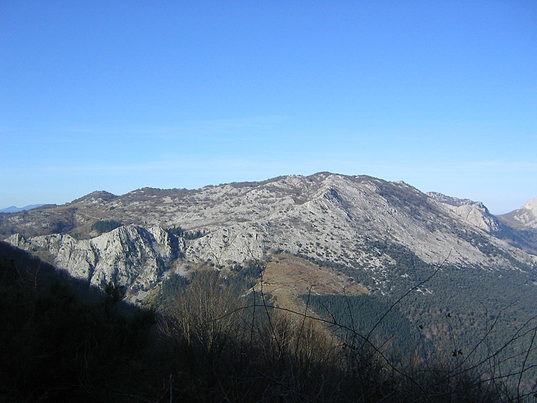
Urrustei
Urrustei is a peak in Zeanuri, Biscay, Basque Country and has an elevation of 429 metres. Urrustei is situated nearby to the locality Untzusita, as well as near the hamlet Indusi.| Tap on a place to explore it |
Places of Interest
Highlights include Axlor and Arrietabaso.
Axlor
Cave

Photo: Theklan, CC BY-SA 4.0.
Axlor is a prehistoric archeological site in the village of Dima in Biscay in the Autonomous Basque Community of Spain, dating from the Middle Paleolithic or Mousterian period.
San Bartolome eliza, Areatza
Church

Photo: Iurdana, CC BY-SA 4.0.
San Bartolome eliza, Areatza is a church.
Places in the Area
Nearby places include Areatza and Dima.
Areatza
Village

Photo: Wikimedia, CC BY-SA 3.0.
Areatza is a town and municipality located in the province of Biscay, in the autonomous community of Basque Country, northern Spain.
Dima
Village
 Dima is a town and municipality of the province of Biscay, in the Basque Country, Spain. Dima is part of the comarca of Arratia-Nerbioi and had a population of 1,313 inhabitants in 2010 according to the Spanish National Statistics Institute.
Artea
Village
 Artea is a town and municipality located in the province of Biscay, in the autonomous community of Basque Country, northern Spain.
Urrustei
- Type: Peak with an elevation of 429 metres
- Category: landform
- Location: Zeanuri, Biscay, Basque Country, Northern Spain, Spain, Iberia, Europe
- View on OpenStreetMap
Latitude
43.1195° or 43° 7′ 10″ northLongitude
-2.7232° or 2° 43′ 24″ westElevation
429 metres (1,407 feet)Open location code
8CMV479G+QPOpenStreetMap ID
node 1260542157OpenStreetMap feature
natural=peak
This page is based on OpenStreetMap, Wikidata, and Wikimedia Commons.
We’d love your help improving our open data sources. Thank you for contributing.
Satellite Map
Discover Urrustei from above in high-definition satellite imagery.
Localities in the Area
Explore places such as Untzusita and Indusi.
Notable Places Nearby
Highlights include Túnel de Abaro and Túnel de Abaro Entrada.
Basque Country: Must-Visit Destinations
Delve into Bilbao, San Sebastián, Vitoria-Gasteiz, and Guernica.
Curious Peaks to Discover
Uncover intriguing peaks from every corner of the globe.
About Mapcarta. Data © OpenStreetMap contributors and available under the Open Database License". Text is available under the CC BY-SA 4.0 license, except for photos, directions, and the map. Photo: Ander Abadia Zallo, CC BY 4.0.