Arrindamendi
Arrindamendi is a peak in Amorebieta-Etxano, Biscay, Basque Country and has an elevation of 241 metres. Arrindamendi is situated nearby to the neighborhood Astitxe, as well as near the hamlet Dudea.| Tap on a place to explore it |
Places of Interest
Highlights include Urritxe and Amorebieta station.
Urritxe
Stadium
The Campo de Fútbol Municipal Nuevo Urritxe, commonly known as just Urritxe, is a multi-use stadium located in Amorebieta-Etxano, Biscay, Basque Country, Spain. It is currently used for football matches and is the home stadium of SD Amorebieta.
Amorebieta station
Railway station
 Amorebieta is a railway station in Amorebieta-Etxano, Basque Country, Spain. It is owned by Euskal Trenbide Sarea and operated by Euskotren. It lies on the Bilbao-San Sebastián line.

Places in the Area
Nearby places include Amorebieta-Etxano and Lemoa.
Amorebieta-Etxano
Town

Photo: Wikimedia, CC BY-SA 3.0.
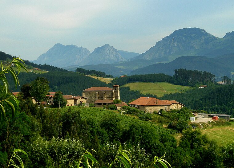
Amorebieta-Etxano, also known as Zornotza, is a town and municipality located in Biscay in the Basque Country, an Autonomous Community in northern Spain.
Lemoa
Village
 Lemoa is a town and municipality located in the province of Biscay, in the autonomous community of Basque Country, northern Spain.
Arrindamendi
- Type: Peak with an elevation of 241 metres
- Category: landform
- Location: Amorebieta-Etxano, Biscay, Basque Country, Northern Spain, Spain, Iberia, Europe
- View on OpenStreetMap
Latitude
43.219° or 43° 13′ 9″ northLongitude
-2.7159° or 2° 42′ 57″ westElevation
241 metres (791 feet)Open location code
8CMV679M+JJOpenStreetMap ID
node 1260596821OpenStreetMap feature
natural=peak
This page is based on OpenStreetMap, Wikidata, and Wikimedia Commons.
We’d love your help improving our open data sources. Thank you for contributing.
Satellite Map
Discover Arrindamendi from above in high-definition satellite imagery.
Localities in the Area
Explore places such as Astitxe and Dudea.
Notable Places Nearby
Highlights include San Martin Erreka and Bidania errota.
Basque Country: Must-Visit Destinations
Delve into Bilbao, San Sebastián, Vitoria-Gasteiz, and Guernica.
Curious Peaks to Discover
Uncover intriguing peaks from every corner of the globe.
About Mapcarta. Data © OpenStreetMap contributors and available under the Open Database License". Text is available under the CC BY-SA 4.0 license, except for photos, directions, and the map. Photo: Ander Abadia Zallo, CC BY 4.0.