Muntanya del Coronat
Muntanya del Coronat is a peak in Quart de les Valls, Valencia, Valencian Community and has an elevation of 186 metres. Muntanya del Coronat is situated nearby to the locality Lloma Llarga, as well as near el Pla.| Tap on a place to explore it |
Places of Interest
Highlights include Church of Saint Anne and Watermill of Faura.
Church of Saint Anne
Place of worship

Photo: 19Tarrestnom65, CC BY-SA 3.0.
Church of Saint Anne is a place of worship.

Iglesia de Santiago
Church

Photo: B25es, CC BY-SA 3.0.
The Church of Saint James is a former parish church in Spain. It is the only remaining building in Benicalaf, a formerly-populated village in the municipality of Benavites, in the comarca of Camp de Morvedre, Valencian Community.
Places in the Area
Nearby places include Faura Municipality and Benifairó de les Valls.
Faura Municipality
Village
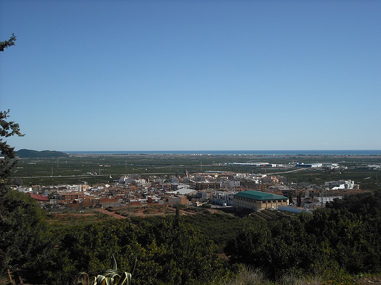
Photo: Qoan, CC BY-SA 3.0.
Faura is a municipality in the comarca of Camp de Morvedre in the Valencian Community, Spain. The patron saint of this town is Saint Barbara. During some feast days there is an event in which the people of Faura hold a procession for the image of the virgin.
Benifairó de les Valls
Village

Photo: Qoan, CC BY-SA 3.0.
Benifairó de les Valls is a municipality in the comarca of Camp de Morvedre in the Valencian Community, Spain.
Quartell
Village

Photo: Wikimedia, CC BY-SA 3.0.
Quartell is a small town and municipality in the fertile comarca of Camp de Morvedre in the Province of Valencia in eastern Spain. It is close to the sea, thirty five kilometers north of the provincial capital city Valencia, and ten kilometers north of Sagunto.
Muntanya del Coronat
- Type: Peak with an elevation of 186 metres
- Category: landform
- Location: Quart de les Valls, Valencia, Valencian Community, Eastern Spain, Spain, Iberia, Europe
- View on OpenStreetMap
Latitude
39.7535° or 39° 45′ 13″ northLongitude
-0.2864° or 0° 17′ 11″ westElevation
186 metres (610 feet)Open location code
8CFXQP37+CCOpenStreetMap ID
node 12616489858OpenStreetMap feature
natural=peak
This page is based on OpenStreetMap, Wikidata, and Wikimedia Commons.
We’d love your help improving our open data sources. Thank you for contributing.
Satellite Map
Discover Muntanya del Coronat from above in high-definition satellite imagery.
Localities in the Area
Explore places such as el Coronat and Lloma Llarga.
Notable Places Nearby
Highlights include la Retoressa and Molí de Vent.
Valencia: Must-Visit Destinations
Delve into Valencia, Sagunto, Gandía, and Xàtiva.
Curious Peaks to Discover
Uncover intriguing peaks from every corner of the globe.
About Mapcarta. Data © OpenStreetMap contributors and available under the Open Database License". Text is available under the CC BY-SA 4.0 license, except for photos, directions, and the map. Photo: andruby, CC BY 2.0.