Parkplatz Haltestelle Reisach
Parkplatz Haltestelle Reisach is a parking area in Kirchbach, Hermagor District, Carinthia. Parkplatz Haltestelle Reisach is situated nearby to the church Filialkirche hl. Anastasia, as well as near the garden Hermi’s Gemüsegarten.| Tap on a place to explore it |
Places of Interest Nearby
Highlights include Filialkirche hl. Anastasia and Pfarrkirche Reisach.
Filialkirche hl. Anastasia
Church

Photo: Niki.L, CC BY-SA 4.0.
Filialkirche hl. Anastasia is a church, which is situated 630 metres northeast of Parkplatz Haltestelle Reisach.
Pfarrkirche Reisach
Church
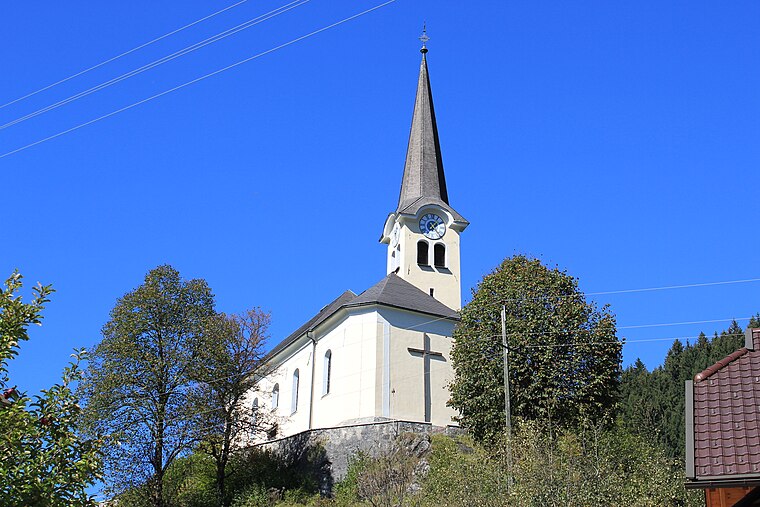
Photo: Neithan90, Public domain.
Pfarrkirche Reisach is a church, which is situated 1 km north of Parkplatz Haltestelle Reisach.
Troistöckl
Church

Photo: Niki.L, CC BY-SA 4.0.
Troistöckl is a church, which is situated 1½ km west of Parkplatz Haltestelle Reisach.
Places in the Area
Nearby places include Grafendorf and Gurina.
Grafendorf
Village

Photo: Naturpuur, CC BY-SA 4.0.
Grafendorf is a village, which is situated 3½ km northwest of Parkplatz Haltestelle Reisach.
Gurina
Hamlet

Photo: Johann Jaritz, CC BY-SA 3.0 at.
Gurina is a hamlet, which is situated 6 km northwest of Parkplatz Haltestelle Reisach.
Dellach
Village

Photo: JJ55, CC BY-SA 3.0.
Dellach is a municipality in the district of Hermagor, in the Austrian state of Carinthia. Dellach is situated 6 km west of Parkplatz Haltestelle Reisach.
Parkplatz Haltestelle Reisach
- Type: Parking area
- Parking: surface
- Category: transportation
- Location: Kirchbach, Hermagor District, Carinthia, Austria, Central Europe, Europe
- View on OpenStreetMap
Latitude
46.6427° or 46° 38′ 34″ northLongitude
13.15465° or 13° 9′ 17″ eastOpen location code
8FRMJ5V3+3VOpenStreetMap ID
node 1262524489OpenStreetMap feature
amenity=parkingOpenStreetMap attribute
parking=surface
This page is based on OpenStreetMap, Wikidata, and Wikimedia Commons.
We’d love your help improving our open data sources. Thank you for contributing.
Satellite Map
Discover Parkplatz Haltestelle Reisach from above in high-definition satellite imagery.
Notable Places Nearby
Highlights include Hermi’s Gemüsegarten and Hl. Johannes der Täufer.
Nearby Places
Explore places such as Haltestelle Reisach and Fahrradabstellplatz Haltestelle Reisach.
Carinthia: Must-Visit Destinations
Delve into Klagenfurt, Villach, Wörthersee, and Spittal an der Drau.
Curious Parking Areas to Discover
Uncover intriguing parking areas from every corner of the globe.
About Mapcarta. Data © OpenStreetMap contributors and available under the Open Database License". Text is available under the CC BY-SA 4.0 license, except for photos, directions, and the map. Photo: Wikimedia, CC BY-SA 3.0.