Ruine Ehestetten
Ruine Ehestetten is a ruins in Baden-Württemberg, Germany. Ruine Ehestetten is situated nearby to the cliff Bluttenhagfels, as well as near the archaeological site ehem. Burg Ehestetten.| Tap on a place to explore it |
Photo: Peter Kreuzmann, CC BY-SA 4.0.
- Type: Ruins
- Description: castle
- Also known as: “Ehemalige Burg Ehestetten”
Places of Interest Nearby
Highlights include Malesfelsen and Albstadt-Ebingen station.
Malesfelsen
Peak

Photo: Ikar.us, CC BY 3.0 de.
Malesfelsen is a mountain of the Swabian Jura in Germany. It is located at the edge of the Großer Heuberg plateau above the Schmiecha valley in Albstadt.
Albstadt-Ebingen station
Railway station
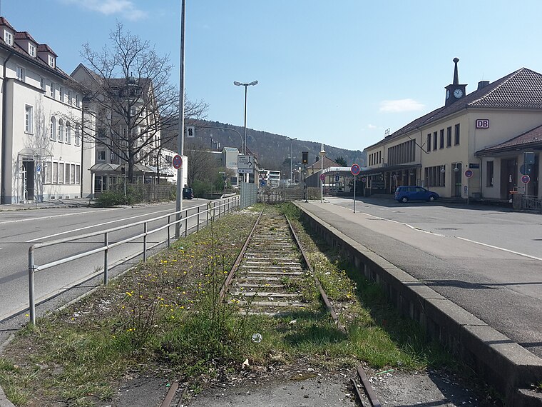
Photo: Triefeline, CC BY-SA 4.0.
Albstadt-Ebingen station is a railway station, which is situated 2 km northwest of Ruine Ehestetten.
Villa Haux
Retail building

Photo: Saeft80, Public domain.
Villa Haux is a villa in the Art Nouveau style built in 1908 by architects Richard Böklen and Carl Feil in the southern German town of Ebingen. It was built for Kommerzienrat Friedrich Haux, entrepreneur in the local textile industry, between his factory and a railway line crossing the town on a bridge. Villa Haux is situated 2 km northwest of Ruine Ehestetten.
Places in the Area
Nearby places include Straßberg and Winterlingen.
Straßberg
Village

Photo: Zollernalb, CC BY-SA 3.0.
Straßberg is a municipality of the Zollernalb district of Baden-Württemberg, Germany. Straßberg is situated 4 km southeast of Ruine Ehestetten.
Winterlingen
Village

Photo: Zollernalb, CC BY-SA 4.0.
Winterlingen is a municipality in the Zollernalbkreis district of Baden-Württemberg, Germany. Winterlingen is situated 6 km southeast of Ruine Ehestetten.
Bitz
Village

Photo: Ikar.us, CC BY 3.0 de.
Bitz is a municipality in the Zollernalbkreis district of Baden-Württemberg, Germany. Bitz is situated 6 km northeast of Ruine Ehestetten.
Ruine Ehestetten
- Categories: castle and historic site
- Location: Baden-Württemberg, Germany, Central Europe, Europe
- View on OpenStreetMap
Latitude
48.19847° or 48° 11′ 55″ northLongitude
9.04394° or 9° 2′ 38″ eastOpen location code
8FWF52XV+9HOpenStreetMap ID
node 12668736724OpenStreetMap feature
historic=ruinsWikidata ID
Q1385938
This page is based on OpenStreetMap, Wikidata, and Wikimedia Commons.
We’d love your help improving our open data sources. Thank you for contributing.
Satellite Map
Discover Ruine Ehestetten from above in high-definition satellite imagery.
In Other Languages
“Ruine Ehestetten” goes by many names.
- German: “Ruine Ehestetten”
Notable Places Nearby
Highlights include Bluttenhagfels and ehem. Burg Ehestetten.
Nearby Places
Explore places such as toom Baumarkt and Kundenparkplatz.
Baden-Württemberg: Must-Visit Destinations
Delve into Stuttgart, Heidelberg, Karlsruhe, and Mannheim.
Curious Ruins to Discover
Uncover intriguing ruins from every corner of the globe.
About Mapcarta. Data © OpenStreetMap contributors and available under the Open Database License". Text is available under the CC BY-SA 4.0 license, except for photos, directions, and the map. Photo: Peter Kreuzmann, CC BY-SA 4.0.