los Viloubàs
los Viloubàs is a locality in Paüls Municipality, Tarragona, Catalonia. los Viloubàs is situated nearby to the locality Pujador del Salt, as well as near Solana de la Refoia.| Tap on a place to explore it |
Places of Interest
Highlights include Tossal d’Engrilló and Bassa de la Refoia.
Tossal d’Engrilló
Peak

Photo: Simonjoan, CC BY-SA 4.0.
Tossal d'Engrilló is a mountain of Catalonia, Spain. It has an elevation of 1,072 metres above sea level. A Triangulation station is located at the summit.


Places in the Area
Nearby places include Prat de Comte and Horta de Sant Joan.
Prat de Comte
Village

Photo: Mgclape, CC BY-SA 3.0.
Prat de Comte is a municipality in the comarca of Terra Alta, in the province of Tarragona, Catalonia, Spain. It has a population of 185. The name of the place has its origins in the Middle Ages, in the words: "el prat donat pel comte", the pasture donated by the Count. Prat de Comte is situated 3½ km northeast of los Viloubàs.
Horta de Sant Joan
Village

Photo: Biopics, CC BY-SA 3.0.
Horta de Sant Joan is a village and municipality in comarca of Terra Alta in Catalonia, Spain. It has a population of 1,157. Pablo Picasso spent a year in this town and developed a considerable amount of his artistic skills in the town. Horta de Sant Joan is situated 6 km west of los Viloubàs.
Bot Municipality
Village
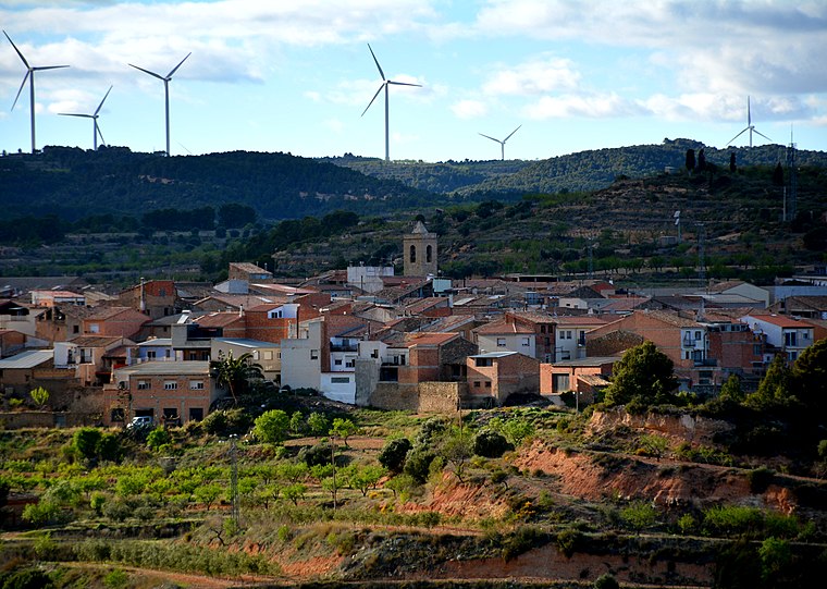
Photo: Wikimedia, CC BY-SA 2.0.
Bot is a town located in the comarca of Terra Alta, province of Tarragona, in Catalonia, Spain. It is located between the Serra de la Solsida and the Serra dels Pesells ranges. Bot Municipality is situated 6 km north of los Viloubàs.
los Viloubàs
- Type: Locality
- Location: Paüls Municipality, Tarragona, Catalonia, Eastern Spain, Spain, Iberia, Europe
- View on OpenStreetMap
Latitude
40.95459° or 40° 57′ 17″ northLongitude
0.38485° or 0° 23′ 5″ eastOpen location code
8FG2X93M+RWOpenStreetMap ID
node 12728370849OpenStreetMap feature
place=locality
This page is based on OpenStreetMap, Wikidata, and Wikimedia Commons.
We’d love your help improving our open data sources. Thank you for contributing.
Satellite Map
Discover los Viloubàs from above in high-definition satellite imagery.
Localities in the Area
Explore places such as Pujador del Salt and el Salt.
Notable Places Nearby
Highlights include el Salt and Salt de Viloubà.
Tarragona: Must-Visit Destinations
Delve into Tarragona, Reus, Tortosa, and Salou.
Curious Localities to Discover
Uncover intriguing localities from every corner of the globe.
About Mapcarta. Data © OpenStreetMap contributors and available under the Open Database License". Text is available under the CC BY-SA 4.0 license, except for photos, directions, and the map. Photo: Lluket, CC BY-SA 3.0.