ASO - Allgemeine Sonderschule Güssing
ASO - Allgemeine Sonderschule Güssing is a school in Güssing, Burgenland which is located on Schulstraße. ASO - Allgemeine Sonderschule Güssing is situated nearby to the library Bücherei, as well as near the theater building Kulturzentrum Güssing.| Tap on a place to explore it |
- Email: aso.guessing@bildungsserver.com
- Type: School
- Address: Schulstraße 11, Güssing, 7540
Places of Interest Nearby
Highlights include Güssing Castle and Klosterkirche – Franziskanerkloster – Familiengruft der Batthyány.
Güssing Castle
Castle

Photo: Bwag, CC BY-SA 3.0 at.
Güssing Castle is a castle in southern Burgenland, Austria. On June 30, 1524, the castle was acquired by the Batthyány family, which retains ownership through a historical foundation that provides for the care and maintenance of the castle. Güssing Castle is situated 700 metres south of ASO - Allgemeine Sonderschule Güssing.
Klosterkirche – Franziskanerkloster – Familiengruft der Batthyány
Church
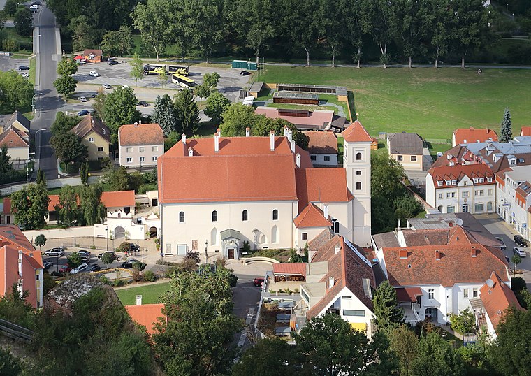
Photo: Bwag, CC BY-SA 3.0 at.
Klosterkirche – Franziskanerkloster – Familiengruft der Batthyány is a church, which is situated 450 metres south of ASO - Allgemeine Sonderschule Güssing.
Heiliger Johannes Nepomuk
Memorial

Photo: Bwag, CC BY-SA 3.0 at.
Heiliger Johannes Nepomuk is a memorial, which is situated 230 metres south of ASO - Allgemeine Sonderschule Güssing.
Places in the Area
Nearby places include Sankt Nikolaus and Gerersdorf bei Güssing.

Gerersdorf bei Güssing
Village

Photo: Bwag, CC BY-SA 4.0.
Gerersdorf bei Güssing is a village, which is situated 5 km west of ASO - Allgemeine Sonderschule Güssing.
Rehgraben
Village
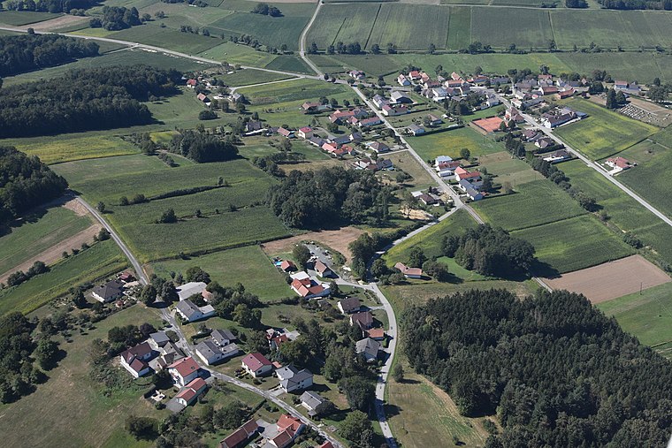
Photo: Iswoar, CC BY-SA 3.0.
Rehgraben is a village, which is situated 7 km west of ASO - Allgemeine Sonderschule Güssing.
ASO - Allgemeine Sonderschule Güssing
- Category: education
- Location: Güssing, Güssing District, Burgenland, Austria, Central Europe, Europe
- View on OpenStreetMap
Latitude
47.06353° or 47° 3′ 49″ northLongitude
16.32324° or 16° 19′ 24″ eastOpen location code
8FVR387F+C7OpenStreetMap ID
node 12732625466OpenStreetMap feature
amenity=school
This page is based on OpenStreetMap, Wikidata, and Wikimedia Commons.
We’d love your help improving our open data sources. Thank you for contributing.
Satellite Map
Discover ASO - Allgemeine Sonderschule Güssing from above in high-definition satellite imagery.
Notable Places Nearby
Highlights include Bücherei and Kulturzentrum Güssing.
Nearby Places
Explore places such as Volksschule Güssing and Musikschule Güssing.
Burgenland: Must-Visit Destinations
Delve into Eisenstadt, Neusiedl am See, and Rust.
Curious Places to Discover
Uncover intriguing places from every corner of the globe.
About Mapcarta. Data © OpenStreetMap contributors and available under the Open Database License". Text is available under the CC BY-SA 4.0 license, except for photos, directions, and the map. Photo: Ueb-at, CC BY-SA 3.0.