Schwarzer Korsar
Schwarzer Korsar is a climbing site in Moritzburg, Meissen, Saxony. Schwarzer Korsar is situated nearby to the climbing site Tonstudio, as well as near Der Letzte Tanz.| Tap on a place to explore it |
Places of Interest Nearby
Highlights include Lößnitzgrund railway stop and Bilzbad.
Lößnitzgrund railway stop
Railway stop

Photo: Rolf-Dresden, CC BY 3.0.
Lößnitzgrund railway stop is situated 290 metres northwest of Schwarzer Korsar.
Bilzbad
Water park

Photo: Wikimedia, Public domain.
Bilzbad is a water park, which is situated 750 metres northwest of Schwarzer Korsar.
Berg- und Lusthaus Hoflößnitz
Museum

Photo: Jbergner, Public domain.
Berg- und Lusthaus Hoflößnitz is a museum, which is situated 1 km southeast of Schwarzer Korsar.
Places in the Area
Nearby places include Buchholz and Fürstenhain.


Radebeul
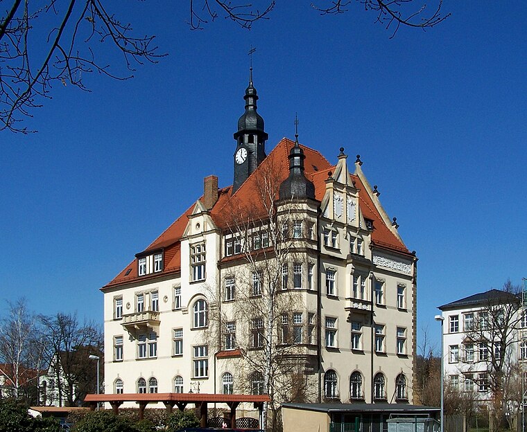
Photo: X-Weinzar, CC BY-SA 2.5.
Radebeul is a historic wine-growing town and residential suburb between Dresden and Meissen in Saxony, Germany. It is essentially an affluent garden suburb of Dresden, but not officially within city limits.
Schwarzer Korsar
- Type: Climbing site
- Category: sports location
- Location: Moritzburg, Meissen, Saxon Elbland, Saxony, Germany, Central Europe, Europe
- View on OpenStreetMap
Latitude
51.11928° or 51° 7′ 9″ northLongitude
13.65609° or 13° 39′ 22″ eastOpen location code
9F3M4M94+PCOpenStreetMap ID
node 12737104145OpenStreetMap feature
sport=climbing
This page is based on OpenStreetMap, Wikidata, and Wikimedia Commons.
We’d love your help improving our open data sources. Thank you for contributing.
Satellite Map
Discover Schwarzer Korsar from above in high-definition satellite imagery.
Notable Places Nearby
Highlights include The Green Mile and Titanic.
Nearby Places
Explore places such as Hoher Stein and Zum Pfeiffer.
Saxon Elbland: Must-Visit Destinations
Delve into Dresden, Meißen, Riesa, and Radebeul.
Curious Climbing Sites to Discover
Uncover intriguing climbing sites from every corner of the globe.
About Mapcarta. Data © OpenStreetMap contributors and available under the Open Database License". Text is available under the CC BY-SA 4.0 license, except for photos, directions, and the map. Photo: Dr. Bernd Gross, CC BY-SA 3.0.