West Hill Pond Boat Launch
West Hill Pond Boat Launch is a slipway in Town of Barkhamsted, Northwest Hills Planning Region, Connecticut. West Hill Pond Boat Launch is situated nearby to the islet Curatole Island, as well as near the town Winsted.| Tap on a place to explore it |
Places in the Area
Nearby places include Winsted and New Hartford.
Winsted
Town

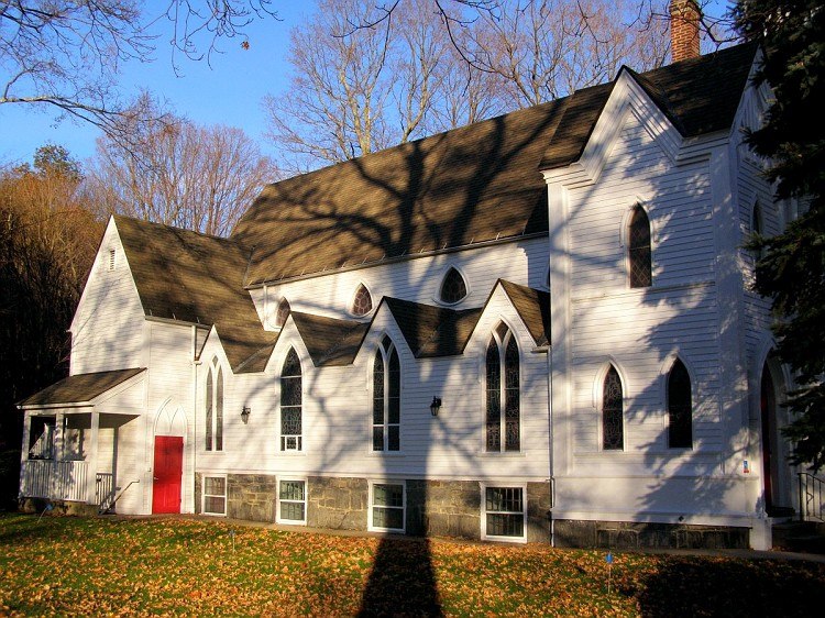
Photo: Wikimedia, Public domain.
Winsted is a census-designated place and an incorporated city in Litchfield County, Connecticut, United States. It is part of the town of Winchester. The population of Winsted was 7,192 at the 2020 census, a decrease from 7,712 at the 2010 census. Winsted is situated 2½ miles northwest of West Hill Pond Boat Launch.
New Hartford
Town

Photo: Magicpiano, CC BY-SA 4.0.
New Hartford is a town in Litchfield County, Connecticut, United States. The population was 6,658 at the 2020 census. The town is part of the Northwest Hills Planning Region. New Hartford is situated 3 miles east of West Hill Pond Boat Launch.
Pine Meadow
Hamlet
 The Pine Meadow Historic District encompasses most of the historic 19th-century village of Pine Meadow in New Hartford, Connecticut, United States. Located at a bend in the West Branch of the Farmington River southeast of New Hartford center, it is a well-preserved example of a rural industrial village. Pine Meadow is situated 3½ miles east of West Hill Pond Boat Launch.
West Hill Pond Boat Launch
- Type: Slipway
- Categories: recreation area and transportation
- Location: Town of Barkhamsted, Northwest Hills Planning Region, Connecticut, New England, United States, North America
- View on OpenStreetMap
Latitude
41.8903° or 41° 53′ 25″ northLongitude
-73.03687° or 73° 2′ 13″ westOpen location code
87H8VXR7+47OpenStreetMap ID
node 12771634311OpenStreetMap feature
leisure=slipway
This page is based on OpenStreetMap, Wikidata, and Wikimedia Commons.
We’d love your help improving our open data sources. Thank you for contributing.
Satellite Map
Discover West Hill Pond Boat Launch from above in high-definition satellite imagery.
Notable Places Nearby
Highlights include West Hill Pond Boat Launch and Curatole Island.
Nearby Places
Explore places such as Berkshire Hall and Camp Food Hall.
Connecticut: Must-Visit Destinations
Delve into Hartford, New Haven, Bridgeport, and Stamford.
Curious Slipways to Discover
Uncover intriguing slipways from every corner of the globe.
About Mapcarta. Data © OpenStreetMap contributors and available under the Open Database License". Text is available under the CC BY-SA 4.0 license, except for photos, directions, and the map. Photo: Wikimedia, CC0.