LF Jeans
LF Jeans is a clothing store in Peniche, Leiria District. LF Jeans is situated nearby to the sports venue Associação de Educação Física Cultural e Recreativa Penichense, as well as near the art gallery Momentos com Arte.| Tap on a place to explore it |
Places of Interest Nearby
Highlights include Antiga Cadeia Municipal e armazéns anexos and Igreja da Misericórdia de Peniche.
Antiga Cadeia Municipal e armazéns anexos
Prison

Photo: Threeohsix, CC BY-SA 4.0.
Antiga Cadeia Municipal e armazéns anexos is a prison, which is situated 290 metres southeast of LF Jeans.
Igreja da Misericórdia de Peniche
Church

Photo: Vitor Oliveira, CC BY-SA 2.0.
Igreja da Misericórdia de Peniche is a church, which is situated 220 metres southeast of LF Jeans.
Pelourinho de Peniche

Photo: Threeohsix, CC BY-SA 4.0.
Pelourinho de Peniche is situated 310 metres southeast of LF Jeans.
Places in the Area
Nearby places include Cabo Carvoeiro and Atouguia da Baleia.
Cabo Carvoeiro
Locality
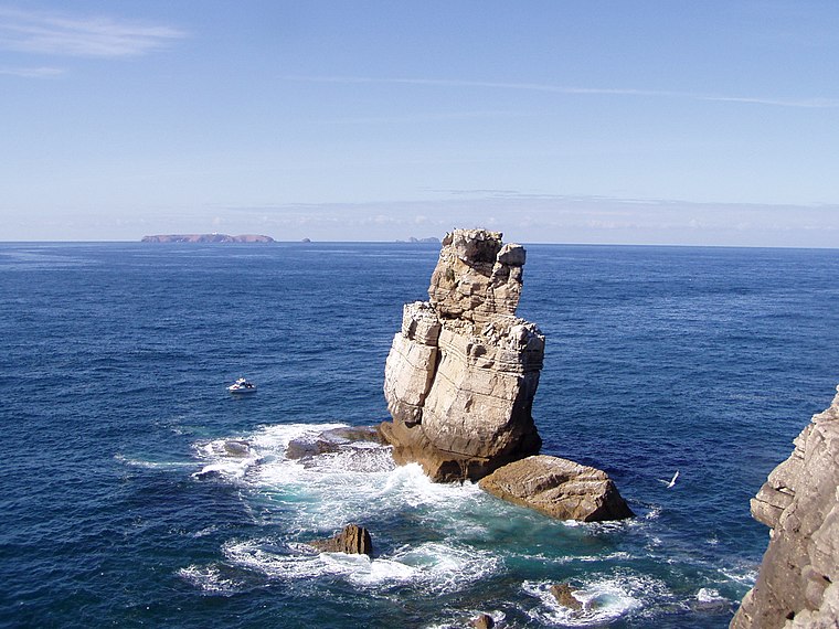
Photo: Tintazul, CC BY-SA 2.5.
Cabo Carvoeiro is cape which lies on the Atlantic coast, along the westernmost point of the Peniche Peninsula, in the civil parish of Peniche and the Oeste region.
Atouguia da Baleia
Village

Photo: Juntas, CC BY-SA 2.5.
Atouguia da Baleia is a parish in the municipality of Peniche, in Portugal. The population in 2011 was 8,954, in an area of 47.02 km2. The village of Atouguia da Baleia proper has almost 2,000 residents. Atouguia da Baleia is situated 5 km southeast of LF Jeans.
Ferrel
Town
Ferrel is a seaside parish in Peniche, Portugal. The population in 2011 was 2,649, in an area of 13.79 km2. Ferrel is situated 6 km east of LF Jeans.
LF Jeans
- Opening hours: Monday—Saturday 9:00 AM—1:00 PM and 3:00 PM—7:00 PM
- Type: Clothing store
- Category: shop
- Location: Peniche, Leiria District, Portugal, Iberia, Europe
- View on OpenStreetMap
Latitude
39.35878° or 39° 21′ 32″ northLongitude
-9.38086° or 9° 22′ 51″ westOpen location code
8CFG9J59+GMOpenStreetMap ID
node 12776790218OpenStreetMap feature
shop=clothes
This page is based on OpenStreetMap, Wikidata, and Wikimedia Commons.
We’d love your help improving our open data sources. Thank you for contributing.
Satellite Map
Discover LF Jeans from above in high-definition satellite imagery.
Notable Places Nearby
Highlights include Associação de Educação Física Cultural e Recreativa Penichense and Momentos com Arte.
Nearby Places
Explore places such as On Board and Pastelaria Roma.
Portugal: Must-Visit Destinations
Delve into Lisbon, Caldas da Rainha, Porto, and Coimbra.
Curious Clothing Stores to Discover
Uncover intriguing clothing stores from every corner of the globe.
About Mapcarta. Data © OpenStreetMap contributors and available under the Open Database License". Text is available under the CC BY-SA 4.0 license, except for photos, directions, and the map. Photo: joselomba, CC BY-SA 3.0.