Les Préalpes
Les Préalpes is a locality in Ollon, Aigle District, Vaud. Les Préalpes is situated nearby to the locality En Pussines, as well as near the village Saint-Triphon.| Tap on a place to explore it |
Places of Interest
Highlights include St Blaise Chapel and Saint-Triphon Tower.
St Blaise Chapel
Ruins

Photo: Espandero, CC BY-SA 4.0.
The Saint Blaise Chapel is an historic ruin located in the hamlet of Saint-Triphon in Switzerland. This romanesque style chapel, which existed still at least 1174, was partially restored in 2009.


Places in the Area
Nearby places include Aigle and Huémoz.
Aigle
Town

Photo: Panoramasuisse, CC BY-SA 3.0.
Aigle is a historic town and a municipality and the capital of the district of Aigle in the canton of Vaud in Switzerland. The official language of Aigle is Swiss French. Aigle is situated 3 km northwest of Les Préalpes.
Huémoz
Village
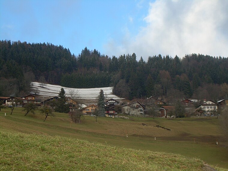
Photo: Emmanuelle Adjoa Bessi, CC BY-SA 4.0.
Huémoz is a village, which is situated 3 km east of Les Préalpes.
Veyges
Hamlet

Photo: Classiccardinal, CC BY-SA 4.0.
Veyges is a hamlet, which is situated 4 km north of Les Préalpes.
Les Préalpes
- Type: Locality
- Location: Ollon, Aigle District, Vaud, Western Switzerland, Switzerland, Central Europe, Europe
- View on OpenStreetMap
Latitude
46.29403° or 46° 17′ 39″ northLongitude
6.98453° or 6° 59′ 4″ eastOpen location code
8FR87XVM+JROpenStreetMap ID
node 12785403863OpenStreetMap feature
place=locality
This page is based on OpenStreetMap, Wikidata, and Wikimedia Commons.
We’d love your help improving our open data sources. Thank you for contributing.
Satellite Map
Discover Les Préalpes from above in high-definition satellite imagery.
Localities in the Area
Explore places such as En Pussines and Saint-Triphon.
Notable Places Nearby
Highlights include Piscine de Perrosalle and Place de jeux.
Vaud: Must-Visit Destinations
Delve into Lausanne, Montreux, Nyon, and Vevey.
Curious Localities to Discover
Uncover intriguing localities from every corner of the globe.
About Mapcarta. Data © OpenStreetMap contributors and available under the Open Database License". Text is available under the CC BY-SA 4.0 license, except for photos, directions, and the map. Photo: Annickjaquillard, CC BY-SA 4.0.