Bros doner
Bros doner is a fast food restaurant in Herning Municipality, Central Jutland. Bros doner is situated nearby to the government office VIA, Center for Undervisningsmidler, as well as near the school Brændgårdskolen.| Tap on a place to explore it |
Places of Interest Nearby
Highlights include St. John’s Church and Tekstilmuseet.
St. John’s Church
Church
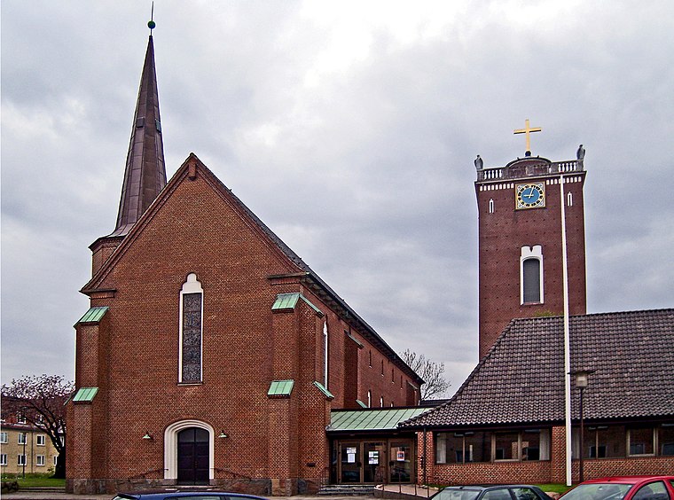
Photo: Bococo, CC BY-SA 3.0.
St. John’s Church is situated 550 metres south of Bros doner.
Tekstilmuseet
Museum

Photo: Majatheodoraki, CC BY-SA 3.0.
Tekstilmuseet is a museum, which is situated 1 km south of Bros doner.
Herning railway station
Railway station

Photo: Dannebrog Spy, CC BY-SA 4.0.
Herning station is the main railway station serving the city of Herning in Jutland, Denmark. Herning station is an important railway junction where the Vejle-Holstebro Line and the Skanderborg-Skjern Line cross each other. Herning railway station is situated 2 km southeast of Bros doner.
Places in the Area
Nearby places include Herning and Gjellerup.
Herning
 Herning is a city in the middle of Jutland. Herning's main claim to fame are sports teams based here and numerous high profile international sport events that have been hosted here. It is also home to Scandinava's largest trade fair centre.
Gjellerup
Village

Photo: Ch1ptune, CC BY-SA 2.5.
Gjellerup is a village, which is situated 5 km east of Bros doner.

Bros doner
- Type: Fast food restaurant
- Categories: food and restaurant
- Location: Herning Municipality, Central Jutland, Denmark, Nordic countries, Europe
- View on OpenStreetMap
Latitude
56.14563° or 56° 8′ 44″ northLongitude
8.96232° or 8° 57′ 44″ eastOpen location code
9F8C4XW6+6WOpenStreetMap ID
node 12794300374OpenStreetMap feature
amenity=fast_food
This page is based on OpenStreetMap, Wikidata, and Wikimedia Commons.
We’d love your help improving our open data sources. Thank you for contributing.
Satellite Map
Discover Bros doner from above in high-definition satellite imagery.
Places with the Same Name
Discover other places named “Bros doner”.
Notable Places Nearby
Highlights include VIA, Center for Undervisningsmidler and Brændgårdskolen.
Nearby Places
Explore places such as Rema 1000 and 365discount Herning Fruehøjvej.
Denmark: Must-Visit Destinations
Delve into Copenhagen, Aarhus, Odense, and Aalborg.
Curious Fast Food Restaurants to Discover
Uncover intriguing fast food restaurants from every corner of the globe.
About Mapcarta. Data © OpenStreetMap contributors and available under the Open Database License". Text is available under the CC BY-SA 4.0 license, except for photos, directions, and the map. Photo: Wikimedia, CC BY-SA 3.0.