Centre Médico-Social Alésia
Centre Médico-Social Alésia is a government office in Alès, Gard, Occitanie which is located on Boulevard Gambetta. Centre Médico-Social Alésia is situated nearby to the theater building Pélousse Paradise, as well as near the health club Salle de sport Moving Alès.| Tap on a place to explore it |
- Opening hours: Monday—Saturday 9:00 AM—noon and 2:00 PM—5:00 PM
- Type: Government office
- Address: 24 Boulevard Gambetta, 30100
Places of Interest Nearby
Highlights include Le Cratère, scène nationale d’Alès and Alès station.
Le Cratère, scène nationale d’Alès
Theater building

Photo: Lecratere, CC BY-SA 3.0.
Le Cratère, scène nationale d’Alès is a theater building, which is situated 270 metres west of Centre Médico-Social Alésia.
Alès station
Railway station

Photo: Vpe, Public domain.
Alès station is a railway station serving the town Alès, Gard department, southern France. It lies on the "Ligne des Cévennes" railway line from Clermont-Ferrand to Nîmes. The station is served by regional trains to Clermont-Ferrand, Mende and Nîmes. Alès station is situated 520 metres north of Centre Médico-Social Alésia.
Arènes du Tempéras
Stadium

Photo: Matpib, CC BY-SA 3.0.
Arènes du Tempéras is a stadium, which is situated 440 metres east of Centre Médico-Social Alésia.
Places in the Area
Nearby places include Saint-Jean-du-Pin and Saint-Martin-de-Valgalgues.
Saint-Jean-du-Pin
Village

Photo: JBouchez, CC BY-SA 3.0.
Saint-Jean-du-Pin is a commune in the Gard department in southern France. Saint-Jean-du-Pin is situated 2½ km west of Centre Médico-Social Alésia.
Saint-Martin-de-Valgalgues
Village
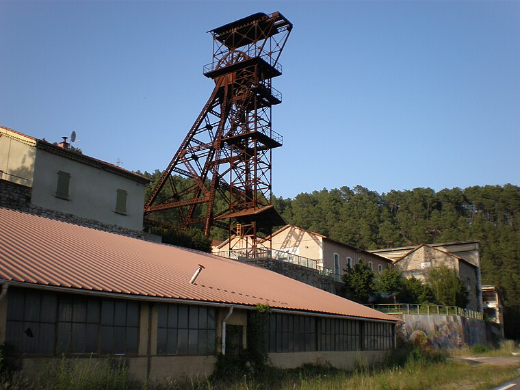
Photo: Vpe, Public domain.
Saint-Martin-de-Valgalgues is a commune in the Gard department in southern France. Saint-Martin-de-Valgalgues is situated 4½ km north of Centre Médico-Social Alésia.
Cendras
Village

Photo: Havang(nl), CC0.
Cendras is a commune in the Gard department in southern France. Cendras is situated 4½ km northwest of Centre Médico-Social Alésia.
Centre Médico-Social Alésia
- Categories: office and government building
- Location: Alès, Arrondissement of Alès, Gard, Occitanie, France, Europe
- View on OpenStreetMap
Latitude
44.12324° or 44° 7′ 24″ northLongitude
4.08459° or 4° 5′ 5″ eastOpen location code
8FP643FM+7ROpenStreetMap ID
node 12798317701OpenStreetMap feature
office=government
This page is based on OpenStreetMap, Wikidata, and Wikimedia Commons.
We’d love your help improving our open data sources. Thank you for contributing.
Satellite Map
Discover Centre Médico-Social Alésia from above in high-definition satellite imagery.
Notable Places Nearby
Highlights include Pélousse Paradise and Salle de sport Moving Alès.
Nearby Places
Explore places such as L’entrée des artistes and ITALIA PIZZA.
Gard: Must-Visit Destinations
Delve into Nîmes, Aigues-Mortes, and Remoulins.
Curious Government Offices to Discover
Uncover intriguing government offices from every corner of the globe.
About Mapcarta. Data © OpenStreetMap contributors and available under the Open Database License". Text is available under the CC BY-SA 4.0 license, except for photos, directions, and the map. Photo: Inkey, CC BY 2.5.