Rentnerhügel
Rentnerhügel is a peak in Dresden, Saxon Elbland, Saxony. Rentnerhügel is situated nearby to the suburb Hellerau, as well as near the neighborhood Altklotzsche.| Tap on a place to explore it |
Places of Interest
Highlights include Dresden Airport and Rathaus Klotzsche.
Dresden Airport
Aerodrome

Photo: Wikimedia, CC BY-SA 4.0.
Dresden Airport is an international airport of Dresden, the state capital of Saxony, Germany. It is located in Klotzsche, a district of Dresden 9 km north of the city centre.

Dresden Flughafen station
Railway station

Photo: Scillystuff, CC BY 3.0.
Dresden Flughafen is an underground railway station at the airport serving the city of Dresden in Saxony, Germany. The station, along with the 1.15 km long extension of the Klotzsche–Grenzstraße railway to Dresden Airport opened on 25 March 2001.
Places in the Area
Nearby places include Radebeul and Klotzsche.
Radebeul
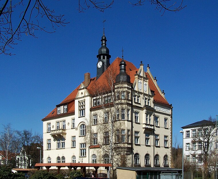
Photo: X-Weinzar, CC BY-SA 2.5.
Radebeul is a historic wine-growing town and residential suburb between Dresden and Meissen in Saxony, Germany. It is essentially an affluent garden suburb of Dresden, but not officially within city limits.
Klotzsche
Suburb

Photo: X-Weinzar, CC BY-SA 2.5.
Klotzsche is a borough of Dresden, Germany. It consists of four quarters : The borough is located north of the Elbe Valley and the Dresden city centre, on the western rim of the Lusatian Plateau.
Hellerau
Suburb

Photo: Wikimedia, CC BY-SA 3.0.
Hellerau is a northern quarter in the city of Dresden, Germany, slightly south of Dresden Airport. It was the first garden city in Germany. The northern section of Hellerau absorbed the village of Klotzsche, where some 18th century buildings remain.
Rentnerhügel
- Type: Peak
- Category: landform
- Location: Dresden, Saxon Elbland, Saxony, Germany, Central Europe, Europe
- View on OpenStreetMap
Latitude
51.1116° or 51° 6′ 42″ northLongitude
13.7598° or 13° 45′ 35″ eastOpen location code
9F3M4Q65+MWOpenStreetMap ID
node 12851903436OpenStreetMap feature
natural=peak
This page is based on OpenStreetMap, Wikidata, and Wikimedia Commons.
We’d love your help improving our open data sources. Thank you for contributing.
Satellite Map
Discover Rentnerhügel from above in high-definition satellite imagery.
Localities in the Area
Explore places such as Altklotzsche and Königswald.
Notable Places Nearby
Highlights include Rentnerhügel and Spielplatz Ruscheweg.
Saxon Elbland: Must-Visit Destinations
Delve into Meißen, Riesa, Radebeul, and Freital.
Curious Peaks to Discover
Uncover intriguing peaks from every corner of the globe.
About Mapcarta. Data © OpenStreetMap contributors and available under the Open Database License". Text is available under the CC BY-SA 4.0 license, except for photos, directions, and the map. Photo: Kreidefossil, CC BY-SA 3.0.