Coronel José González Valdés
Coronel José González Valdés is a work of art in Santiago de Cuba, Eastern Cuba. Coronel José González Valdés is situated nearby to the battlefield Loma de San Juan, as well as near San Juan Battle Historic Park.| Tap on a place to explore it |
Places of Interest Nearby
Highlights include Parque zoologico santiago and Guillermón Moncada Stadium.
Parque zoologico santiago
Zoo

Photo: Christian Pirkl, CC BY-SA 4.0.
Parque zoologico santiago is situated 350 metres west of Coronel José González Valdés.
Guillermón Moncada Stadium
Stadium
Estadio Guillermón Moncada is a multi-use stadium in Santiago de Cuba, Cuba. It is the second largest baseball stadium in Cuba and comfortably seats 25,000 spectators. Guillermón Moncada Stadium is situated 2 km northwest of Coronel José González Valdés.
Museo Municipal Emilio Bacardí Moreau
Museum
 The Emilio Bacardí Moreau Municipal Museum is a museum in Santiago de Cuba, Cuba. Dating back to 1899, this museum is the oldest in Santiago de Cuba. Museo Municipal Emilio Bacardí Moreau is situated 3 km west of Coronel José González Valdés.
Places in the Area
Nearby places include El Caney.
El Caney
Suburb
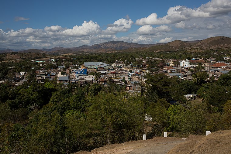
Photo: Christian Pirkl, CC BY-SA 4.0.
El Caney is a small village six kilometers to the northeast of Santiago, Cuba. "Caney" means longhouse in Taíno. El Caney is situated 5 km northeast of Coronel José González Valdés.
Coronel José González Valdés
- Type: Work of art
- Artwork type: bust
- Category: tourism
- Location: Santiago de Cuba, Santiago de Cuba Province, Eastern Cuba, Cuba, Caribbean, North America
- View on OpenStreetMap
Latitude
20.02052° or 20° 1′ 14″ northLongitude
-75.79826° or 75° 47′ 54″ westHeight
2.5 metres (8.2 feet)Open location code
77G626C2+6MOpenStreetMap ID
node 12887781808OpenStreetMap feature
tourism=artworkOpenStreetMap attribute
artwork_type=bust
This page is based on OpenStreetMap, Wikidata, and Wikimedia Commons.
We’d love your help improving our open data sources. Thank you for contributing.
Satellite Map
Discover Coronel José González Valdés from above in high-definition satellite imagery.
Notable Places Nearby
Highlights include Loma de San Juan and San Juan Battle Historic Park.
Nearby Places
Explore places such as Centenario and Monument to the American Soldier.
Eastern Cuba: Must-Visit Destinations
Delve into Guantánamo, Guantánamo Bay, Holguín, and Alejandro de Humboldt National Park.
Curious Work Of Arts to Discover
Uncover intriguing work of arts from every corner of the globe.
About Mapcarta. Data © OpenStreetMap contributors and available under the Open Database License". Text is available under the CC BY-SA 4.0 license, except for photos, directions, and the map. Photo: Rastapopulous, CC BY-SA 3.0.