VID Butikken
VID Butikken is a second-hand shop in Norddjurs Municipality, Central Jutland. VID Butikken is situated nearby to Grenaa Idrætsforening, as well as near the stadium Grenå Stadion.| Tap on a place to explore it |
Places of Interest Nearby
Highlights include Grenaa railway station and Grenaa Church.
Grenaa railway station
Railway station

Photo: Smiley.toerist, CC BY-SA 4.0.
Grenaa station is a railway station serving the town and seaport of Grenaa on the Djursland peninsula in East Jutland, Denmark. The station is the northeastern terminus of the Grenaa railway line from Aarhus to Grenaa. Grenaa railway station is situated 600 metres north of VID Butikken.
Grenaa Church
Church

Photo: S.Juhl, Public domain.
Grenaa Church is situated 700 metres north of VID Butikken.
Baunhøj Mølle
Museum

Photo: Villy Fink Isaksen, CC BY-SA 3.0.
Baunhøj Mølle is a museum, which is situated 2 km northwest of VID Butikken.
Places in the Area
Nearby places include Grenå and Voldby.
Grenå

Photo: Old Dane, CC BY-SA 4.0.
Grenaa is a Danish town and seaport on the east coast of the Jutland peninsula. Tourism, education and commerce are important sectors in the economy of Grenaa.
Voldby
Village

Photo: Beethoven9, CC BY-SA 4.0.
Voldby is a village, which is situated 6 km north of VID Butikken.
Trustrup
Village
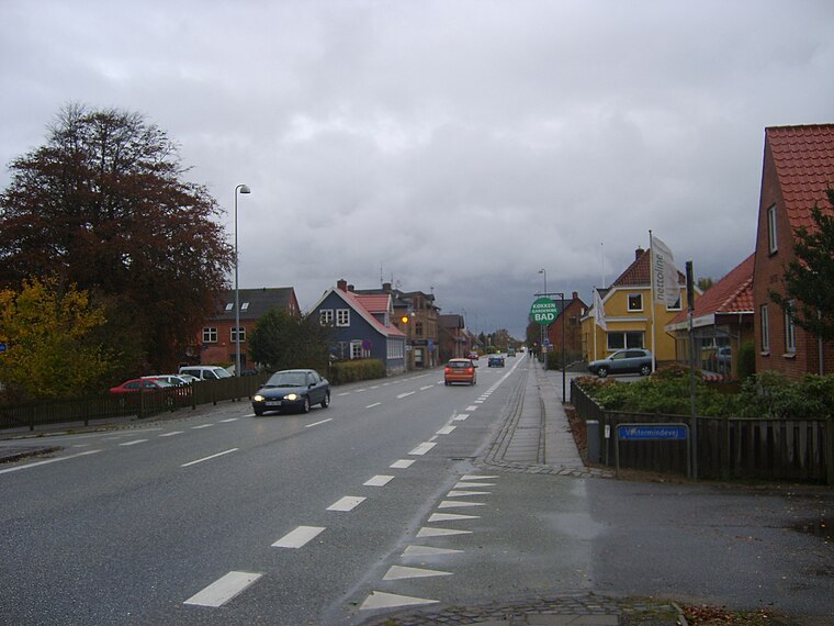
Photo: Sapfan, Public domain.
Trustrup is a small railway town, with a population of 776, in Norddjurs Municipality, Central Denmark Region in Denmark. It is located 21 km east of Ryomgård, 21 km north of Ebeltoft and 13 km southwest of the municipal seat Grenaa. Trustrup is situated 9 km southwest of VID Butikken.
VID Butikken
- Type: Second-hand shop
- Category: shop
- Location: Norddjurs Municipality, Central Jutland, Denmark, Nordic countries, Europe
- View on OpenStreetMap
Latitude
56.40742° or 56° 24′ 27″ northLongitude
10.87885° or 10° 52′ 44″ eastOpen location code
9F8GCV4H+XGOpenStreetMap ID
node 12889469346OpenStreetMap feature
shop=second_hand
This page is based on OpenStreetMap, Wikidata, and Wikimedia Commons.
We’d love your help improving our open data sources. Thank you for contributing.
Satellite Map
Discover VID Butikken from above in high-definition satellite imagery.
Notable Places Nearby
Highlights include Grenaa Idrætsforening and Grenå Stadion.
Nearby Places
Explore places such as Damaskus restaurant and Fuglevænget.
Denmark: Must-Visit Destinations
Delve into Copenhagen, Aarhus, Odense, and Aalborg.
Curious Second-Hand Shops to Discover
Uncover intriguing second-hand shops from every corner of the globe.
About Mapcarta. Data © OpenStreetMap contributors and available under the Open Database License". Text is available under the CC BY-SA 4.0 license, except for photos, directions, and the map. Photo: Wikimedia, CC BY-SA 3.0.