Place Jean-Louis Wagnière
Place Jean-Louis Wagnière is a square in Ferney-Voltaire, Arrondissement of Gex, Auvergne-Rhône-Alpes. Place Jean-Louis Wagnière is situated nearby to the library Médiathèque Le Châtelard, as well as near the historic building Maison, rue de Genève.| Tap on a place to explore it |
Places of Interest Nearby
Highlights include Geneva International Airport and Maison, rue de Genève.
Geneva International Airport
Aerodrome

Photo: Superpoor, CC BY-SA 4.0.
Geneva Airport – formerly and still unofficially known as Cointrin Airport – is an international airport of Geneva, the second most populous city in Switzerland.
Maison, rue de Genève
Historic building

Photo: Ludo29, CC BY-SA 3.0.
Maison, rue de Genève is a historic building, which is situated 350 metres northeast of Place Jean-Louis Wagnière.
Ferney-Voltaire fountain
Fountain

Photo: Ludo29, CC BY-SA 3.0.
Ferney-Voltaire fountain is situated 440 metres north of Place Jean-Louis Wagnière.
Places in the Area
Nearby places include Ferney-Voltaire and Prévessin-Moëns.
Ferney-Voltaire
Town

Photo: Patrub01, CC BY-SA 3.0.
Ferney-Voltaire is a commune in the Ain department in the Auvergne-Rhône-Alpes region of eastern France. It lies between the Jura Mountains and the Swiss border; it forms part of the metropolitan area of Geneva.
Prévessin-Moëns
Neighborhood

Photo: Patrub01, CC BY-SA 3.0.
Prévessin-Moëns is a commune in the Department of Ain, in France. It is located in the western suburbs of Geneva.
Le Grand-Saconnex
Town
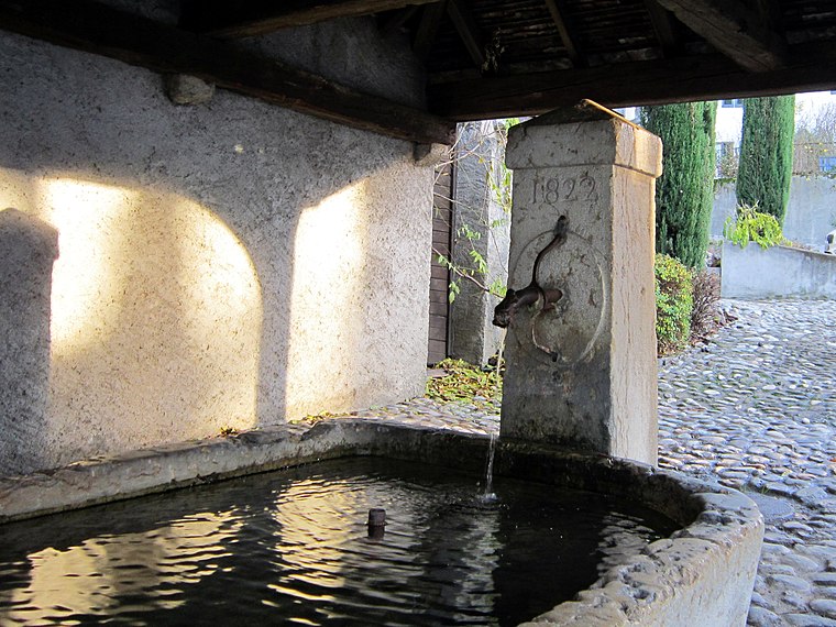
Photo: LaMèreVeille, CC BY-SA 4.0.
Le Grand-Saconnex is a municipality of the Canton of Geneva, Switzerland. Several international organizations and permanent missions to the United Nations are located in Grand Saconnex.
Place Jean-Louis Wagnière
- Type: Square
- Category: locality
- Location: Ferney-Voltaire, Arrondissement of Gex, Ain, Auvergne-Rhône-Alpes, France, Europe
- View on OpenStreetMap
Latitude
46.2516° or 46° 15′ 6″ northLongitude
6.11146° or 6° 6′ 41″ eastOpen location code
8FR87426+JHOpenStreetMap ID
node 12921817019OpenStreetMap feature
place=square
This page is based on OpenStreetMap, Wikidata, and Wikimedia Commons.
We’d love your help improving our open data sources. Thank you for contributing.
Satellite Map
Discover Place Jean-Louis Wagnière from above in high-definition satellite imagery.
Notable Places Nearby
Highlights include Médiathèque Le Châtelard and Théâtre Micromégas.
Nearby Places
Explore places such as ZAC Ferney-Genève Innovation and M3.
Auvergne-Rhône-Alpes: Must-Visit Destinations
Delve into Lyon, Grenoble, Clermont-Ferrand, and Saint-Étienne.
Curious Squares to Discover
Uncover intriguing squares from every corner of the globe.
About Mapcarta. Data © OpenStreetMap contributors and available under the Open Database License". Text is available under the CC BY-SA 4.0 license, except for photos, directions, and the map. Photo: Inkey, CC BY-SA 3.0.