Cazals de Soulie
Cazals de Soulie is a peak in Montirat, Arrondissement of Carcassonne, Occitanie and has an elevation of 279 metres. Cazals de Soulie is situated nearby to the locality les Planas, as well as near la Métairie Blanche.| Tap on a place to explore it |
Places of Interest
Highlights include Église Saint-Félix de Monze and Tour Carbonac.
Église Saint-Félix de Monze
Church

Photo: Tylwyth Eldar, CC BY-SA 4.0.
Église Saint-Félix de Monze is a church.

Église Saint-Marcel de Fontiès-d’Aude
Church

Photo: Tylwyth Eldar, CC BY-SA 4.0.
Église Saint-Marcel de Fontiès-d’Aude is a church.
Places in the Area
Nearby places include Berriac.
Berriac
Village
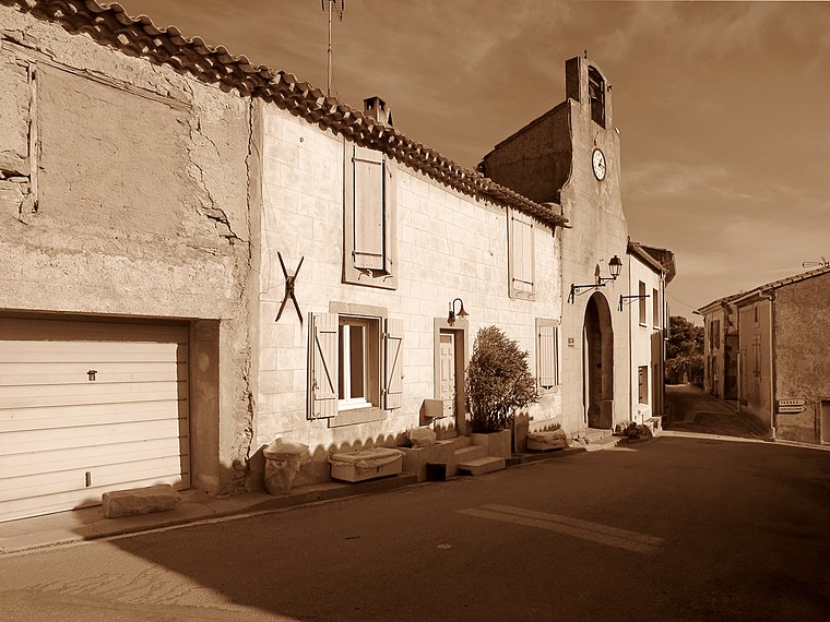
Photo: Olybrius, CC BY-SA 4.0.
Berriac is a commune in the Aude department in southern France.
Cazals de Soulie
- Type: Peak with an elevation of 279 metres
- Category: landform
- Location: Montirat, Arrondissement of Carcassonne, Aude, Occitanie, France, Europe
- View on OpenStreetMap
Latitude
43.1594° or 43° 9′ 34″ northLongitude
2.432° or 2° 25′ 55″ eastElevation
279 metres (915 feet)Open location code
8FM45C5J+QQOpenStreetMap ID
node 12945105349OpenStreetMap feature
natural=peak
This page is based on OpenStreetMap, Wikidata, and Wikimedia Commons.
We’d love your help improving our open data sources. Thank you for contributing.
Satellite Map
Discover Cazals de Soulie from above in high-definition satellite imagery.
Localities in the Area
Explore places such as les Planas and la Métairie Blanche.
Notable Places Nearby
Highlights include Montahut and Plahuzel.
Aude: Must-Visit Destinations
Delve into Carcassonne, Narbonne, Limoux, and Leucate.
Curious Peaks to Discover
Uncover intriguing peaks from every corner of the globe.
About Mapcarta. Data © OpenStreetMap contributors and available under the Open Database License". Text is available under the CC BY-SA 4.0 license, except for photos, directions, and the map. Photo: MartinD, CC BY-SA 3.0.