Confederación Hidrográfica del Ebro
Confederación Hidrográfica del Ebro is a government office in Zaragoza, Saragossa, Aragon which is located on Paseo de Sagasta. Confederación Hidrográfica del Ebro is situated nearby to the arts center Institut Français d’Espagne en Zaragoza, as well as near the health club Trainexit.| Tap on a place to explore it |
- Type: Government office
- Also known as: “CHE”
- Address: Paseo de Sagasta 24,26
Places of Interest Nearby
Highlights include Museo de Ciencias Naturales de la Universidad de Zaragoza and Patio de la Infanta.
Museo de Ciencias Naturales de la Universidad de Zaragoza
Museum

Photo: Robot8A, CC BY-SA 4.0.
Museo de Ciencias Naturales de la Universidad de Zaragoza is a museum, which is situated 330 metres north of Confederación Hidrográfica del Ebro.
Patio de la Infanta
Museum
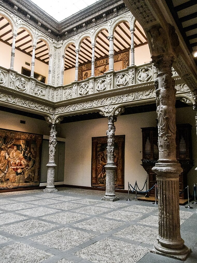 Patio de la Infanta is a museum, which is situated 260 metres northeast of Confederación Hidrográfica del Ebro.
Biblioteca Aragón
Library
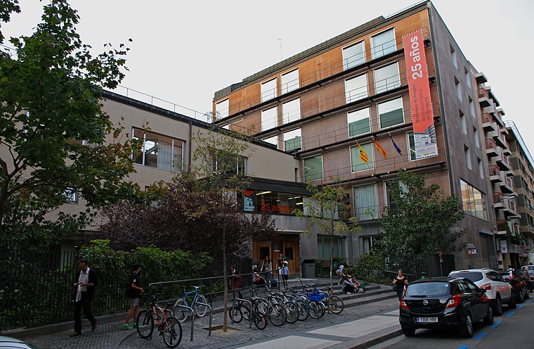
Photo: Klmnt, CC BY-SA 4.0.
Biblioteca Aragón is a library, which is situated 400 metres northwest of Confederación Hidrográfica del Ebro.
Places in the Area
Nearby places include El Tubo and Juslibol.

Juslibol
Neighborhood
Juslibol is a rural district of the city of Zaragoza, Spain. As of 2013, it has a population of 1518 inhabitants. Juslibol is situated 5 km north of Confederación Hidrográfica del Ebro.
General Military Academy
Neighborhood

Photo: Oscar en el medio, CC BY-SA 2.0.
The General Military Academy is a higher training center of the Spanish Army, responsible for the initial training for officers of the Arms and Corps of the Army, and for the officers of the Civil Guard. It is currently located in Zaragoza. General Military Academy is situated 6 km north of Confederación Hidrográfica del Ebro.
Confederación Hidrográfica del Ebro
- Categories: office and government building
- Location: Zaragoza, Saragossa, Aragon, Northern Spain, Spain, Iberia, Europe
- View on OpenStreetMap
Latitude
41.64455° or 41° 38′ 40″ northLongitude
-0.88613° or 0° 53′ 10″ westOpen location code
8CHXJ4V7+RGOpenStreetMap ID
node 12949114586OpenStreetMap feature
office=government
This page is based on OpenStreetMap, Wikidata, and Wikimedia Commons.
We’d love your help improving our open data sources. Thank you for contributing.
Satellite Map
Discover Confederación Hidrográfica del Ebro from above in high-definition satellite imagery.
Notable Places Nearby
Highlights include Biblioteca de La Confederación Hidrográfica del Ebro and Institut Français d’Espagne en Zaragoza.
Nearby Places
Explore places such as Jekes and Comejamón.
Aragon: Must-Visit Destinations
Delve into Huesca, Teruel, Calatayud, and Jaca.
Curious Government Offices to Discover
Uncover intriguing government offices from every corner of the globe.
About Mapcarta. Data © OpenStreetMap contributors and available under the Open Database License". Text is available under the CC BY-SA 4.0 license, except for photos, directions, and the map. Photo: Jiuguang Wang, CC BY-SA 3.0 es.