Peaje de Makallé
Peaje de Makallé is a tollbooth in General Donovan Department, Chaco. Peaje de Makallé is situated nearby to the village Lapachito.| Tap on a place to explore it |
Places in the Area
Nearby places include Makallé and Lapachito.
Makallé
Village

Photo: Pertile, CC BY-SA 3.0.
Makallé is a town in Chaco Province, Argentina. It is the head town of the General Donovan Department. The town is named after a battle at Mekelle during the Italian invasion of Abyssinia in the 19th century. Makallé is situated 4½ km southeast of Peaje de Makallé.
Lapachito
Village

Photo: Pertile, CC BY-SA 3.0.
Lapachito is a village and municipality in Chaco Province in northern Argentina. Lapachito is situated 7 km northwest of Peaje de Makallé.
La Verde
Village
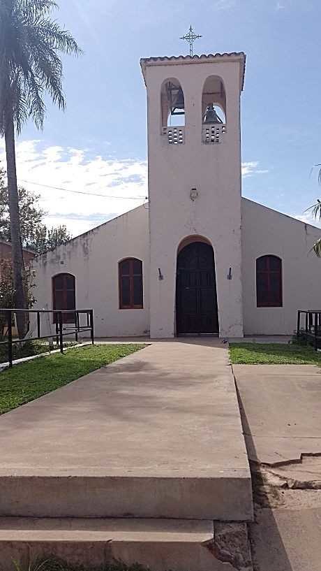
Photo: Adramesc, CC BY-SA 4.0.
La Verde is a village and municipality in Chaco Province in northern Argentina. La Verde is situated 8 km northwest of Peaje de Makallé.
Peaje de Makallé
- Type: Tollbooth
- Category: transportation
- Location: General Donovan Department, Chaco, Argentina, South America
- View on OpenStreetMap
Latitude
-27.18683° or 27° 11′ 13″ southLongitude
-59.3263° or 59° 19′ 35″ westOpen location code
5842RM7F+7FOpenStreetMap ID
node 1297385867
This page is based on OpenStreetMap, Wikidata, and Wikimedia Commons.
We’d love your help improving our open data sources. Thank you for contributing.
Satellite Map
Discover Peaje de Makallé from above in high-definition satellite imagery.
Notable Places Nearby
Highlights include Cementerio de Makallé and Iglesia De Dios.
Nearby Places
Explore places such as Gary and Leiva.
Chaco: Must-Visit Destinations
Delve into Resistencia, Formosa, Clorinda, and Río Pilcomayo National Park.
Curious Tollbooths to Discover
Uncover intriguing tollbooths from every corner of the globe.
About Mapcarta. Data © OpenStreetMap contributors and available under the Open Database License". Text is available under the CC BY-SA 4.0 license, except for photos, directions, and the map. Photo: Wikimedia, CC0.