Greca y Estevez Boero
Greca y Estevez Boero is a bus stop in Capital Department, Santa Fe. Greca y Estevez Boero is situated nearby to the police station Seccional 25, as well as near the church Parroquia Nrta. Sra. del Perpetuo Socorro.| Tap on a place to explore it |
Places of Interest Nearby
Highlights include Santa Fe railway station and Gobernador Oroño bridge.
Santa Fe railway station
Convention center
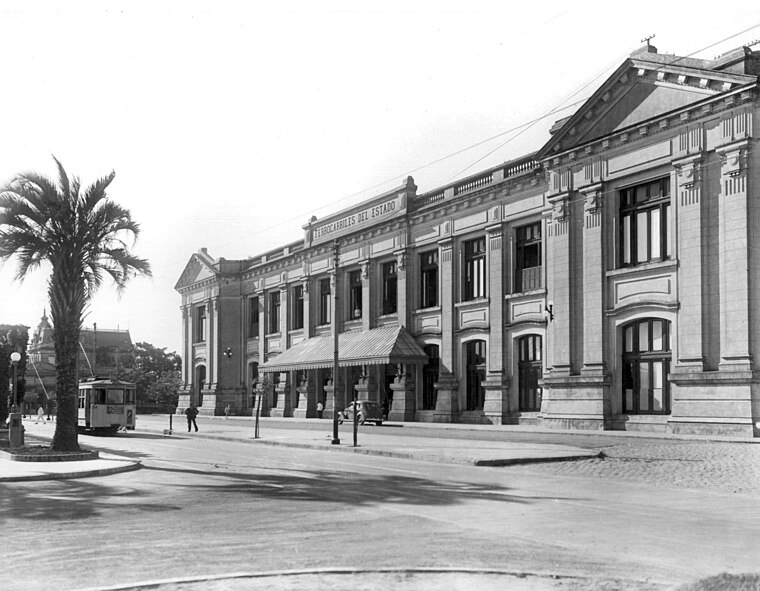
Photo: Wikimedia, Public domain.
Santa Fe is a former railway station located in the city of Santa Fe de la Vera Cruz in Santa Fe Province, Argentina. Having been closed in March 1993 after the Government of Argentina closed all the long-distance services in Argentina, the station was reopened by the local Municipality as a convention center. Santa Fe railway station is situated 3 km west of Greca y Estevez Boero.
Gobernador Oroño bridge
Bridge

Photo: TitiNicola, CC BY-SA 4.0.
Gobernador Oroño bridge is situated 2½ km west of Greca y Estevez Boero.
Basílica Nuestra Señora de Guadalupe
Church
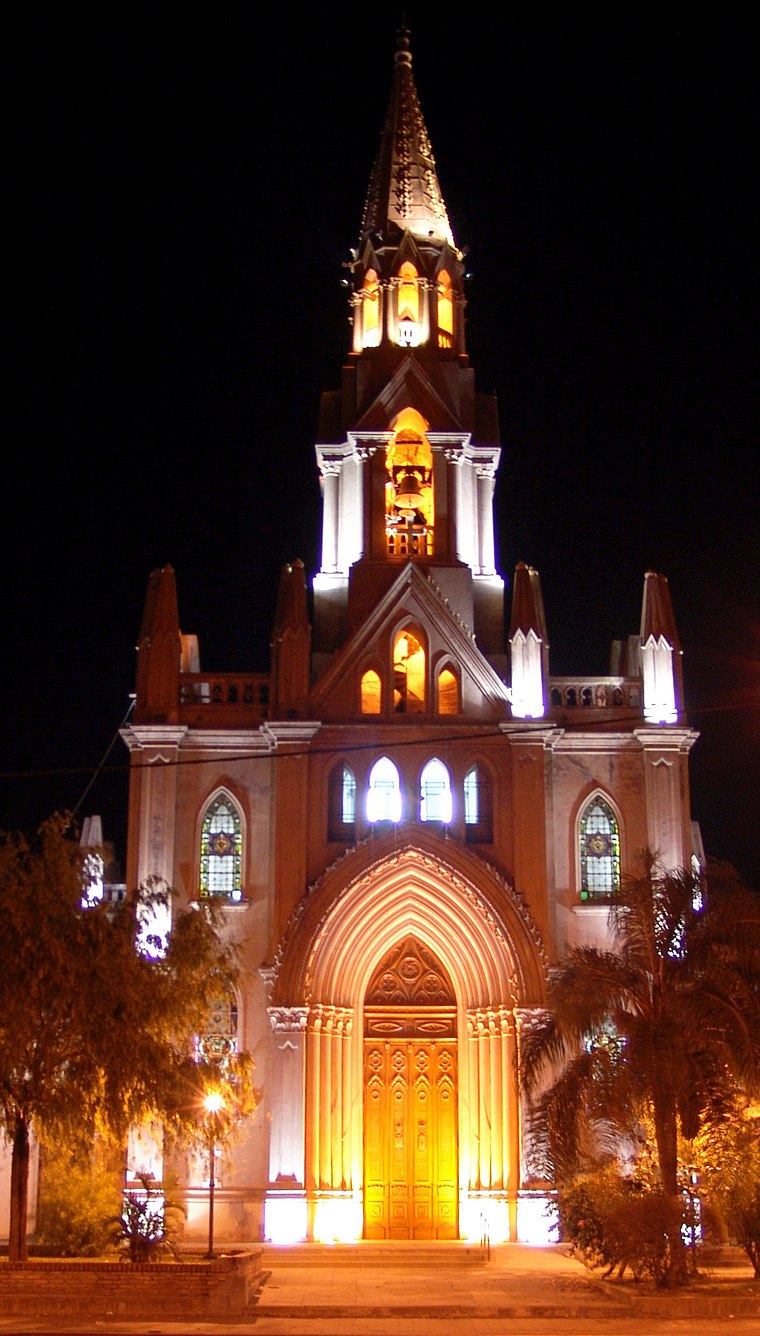
Photo: Alegsa, CC BY-SA 3.0.
Basílica Nuestra Señora de Guadalupe is a church, which is situated 3½ km north of Greca y Estevez Boero.
Places in the Area
Nearby places include Santa Fe and San José del Rincón.
Santa Fe

Photo: Phapyss, CC BY-SA 4.0.
Santa Fe is the capital city of the eponymous province in Argentina. Its riverside bars and nightclubs, chic restaurants, the beauty of the landscape, and the various attractions that tourists enjoy make this a popular region in which to spend holidays.
San José del Rincón
Village

Photo: TitiNicola, CC BY-SA 4.0.
San José del Rincón is a village, which is situated 9 km east of Greca y Estevez Boero.
Greca y Estevez Boero
- Type: Bus stop
- Categories: transport stop and transportation
- Location: Capital Department, Santa Fe, Pampas, Argentina, South America
- View on OpenStreetMap
Latitude
-31.63543° or 31° 38′ 8″ southLongitude
-60.65684° or 60° 39′ 25″ westOpen location code
47WX987V+R7OpenStreetMap ID
node 12992477181OpenStreetMap feature
public_transport=stop_position
This page is based on OpenStreetMap, Wikidata, and Wikimedia Commons.
We’d love your help improving our open data sources. Thank you for contributing.
Satellite Map
Discover Greca y Estevez Boero from above in high-definition satellite imagery.
Notable Places Nearby
Highlights include Seccional 25 and Parroquia Nrta. Sra. del Perpetuo Socorro.
Nearby Places
Explore places such as Greca y Estevez Boero and Manzana 19.
Curious Bus Stops to Discover
Uncover intriguing bus stops from every corner of the globe.
About Mapcarta. Data © OpenStreetMap contributors and available under the Open Database License". Text is available under the CC BY-SA 4.0 license, except for photos, directions, and the map. Photo: Wikimedia, CC0.