Knappabichl
Knappabichl is a locality in St. Anton, Landeck, Tyrol. Knappabichl is situated nearby to the hamlet Gand, as well as near the locality Palmwiese.| Tap on a place to explore it |
Places of Interest
Highlights include Pfarrkirche hl. Jakobus d. Ä. and Burg Arlen.
Pfarrkirche hl. Jakobus d. Ä.
Church

Photo: PLauppert, CC BY-SA 3.0 at.
Pfarrkirche hl. Jakobus d. Ä. is a church.
Burg Arlen
Archaeological site
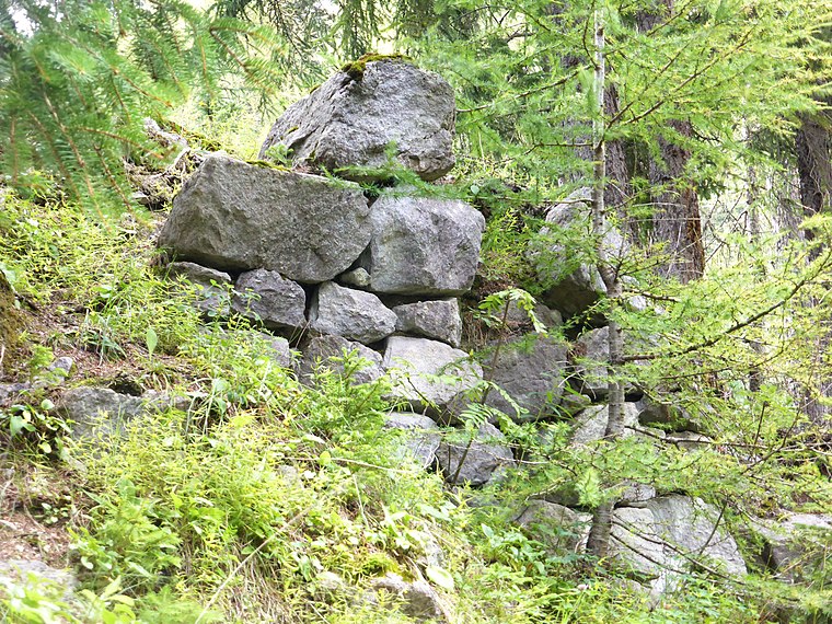
Photo: Wikimedia, CC BY-SA 3.0.
Burg Arlen is an archaeological site.
Stanskogel
Peak

Photo: ChristianEngl, CC BY-SA 3.0.
Stanskogel is a peak, which is situated 3 km north of Knappabichl.
Places in the Area
Nearby places include St. Christoph.
St. Christoph

Photo: Wikimedia, CC BY-SA 4.0.
St. Christoph am Arlberg is, at 1793 m above sea level, one of the highest ski resorts in Austria. It's in the upper part of the Stanzer Valley of Northwest Tyrol, bordering Vorarlberg.
Knappabichl
- Type: Locality
- Location: St. Anton, Landeck, Tyrol, Austria, Central Europe, Europe
- View on OpenStreetMap
Latitude
47.14562° or 47° 8′ 44″ northLongitude
10.30268° or 10° 18′ 10″ eastOpen location code
8FVG48W3+63OpenStreetMap ID
node 12993003183OpenStreetMap feature
place=locality
This page is based on OpenStreetMap, Wikidata, and Wikimedia Commons.
We’d love your help improving our open data sources. Thank you for contributing.
Satellite Map
Discover Knappabichl from above in high-definition satellite imagery.
Localities in the Area
Explore places such as Gand and Oberer Ganderau.
Notable Places Nearby
Highlights include Markus-Stollen and Knåppa-Loch.
Tyrol: Must-Visit Destinations
Delve into Innsbruck, Kufstein, Lienz, and Kitzbühel.
Curious Localities to Discover
Uncover intriguing localities from every corner of the globe.
About Mapcarta. Data © OpenStreetMap contributors and available under the Open Database License". Text is available under the CC BY-SA 4.0 license, except for photos, directions, and the map. Photo: Pgjansson, CC BY-SA 3.0.