Wall & Keogh
Wall & Keogh is a café in Dublin, Leinster which is located on Richmond Street South. Wall & Keogh is situated nearby to the health club Perpetua Gym, as well as near the college Atlas Language School.| Tap on a place to explore it |
- Type: Café
- Address: 45 Richmond Street South
- Wheelchair access: limited
Places of Interest Nearby
Highlights include Dublin Castle and Embassy of Brazil in Ireland.
Dublin Castle
Dublin Castle is a major Irish government complex, conference centre, and tourist attraction. It is located off Dame Street in central Dublin. Originally a motte-and-bailey castle chosen for its position at the highest point of central Dublin, it was mostly rebuilt, from the late 17th century onward, as a Georgian palace. Dublin Castle is situated 1¼ km north of Wall & Keogh.Embassy of Brazil in Ireland
Government office
Photo: ClaireWhi, CC BY-SA 4.0.
Embassy of Brazil in Ireland is a government office, which is situated 270 metres north of Wall & Keogh.
Irish Jewish Museum
Museum
The Irish Jewish Museum is a small museum located in the once highly Jewish populated area of Portobello, around the South Circular Road, Dublin, dedicated to the history of the Irish Jewish community. Irish Jewish Museum is situated 310 metres west of Wall & Keogh.
Places in the Area
Nearby places include Portobello and Rathmines.
Portobello
Suburb

Photo: Wikimedia, Public domain.
Portobello is an area of Dublin in Ireland, within the southern city centre and bounded to the south by the Grand Canal. It came into existence as a small suburb south of the city in the 18th century, centred on Richmond Street.
Rathmines
Suburb
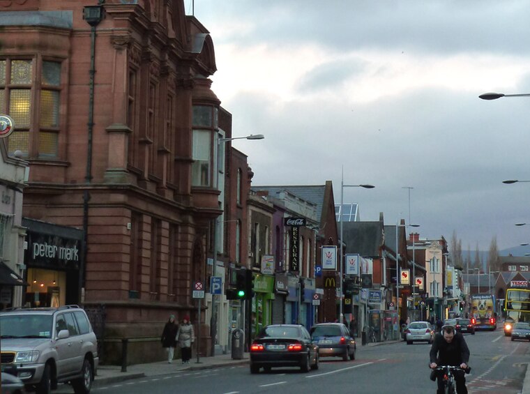
Photo: Hohenloh, CC BY-SA 3.0.
Rathmines is an inner suburb on the Southside of Dublin in Ireland. It begins at the southern side of the Grand Canal and stretches along the Rathmines Road as far as Rathgar to the south, Ranelagh to the east, and Harold's Cross to the west.
Ranelagh
Suburb

Photo: Cqui, CC BY-SA 3.0.
Ranelagh is an affluent residential area and urban village on the Southside of Dublin, Ireland in the postal district of Dublin 6. Ranelagh was originally a village called Cullenswood.
Wall & Keogh
- Location: Dublin, Leinster, Ireland, Britain and Ireland, Europe
- View on OpenStreetMap
Latitude
53.3312° or 53° 19′ 52″ northLongitude
-6.26473° or 6° 15′ 53″ westOpen location code
9C5M8PJP+F4OpenStreetMap ID
node 1299458425OpenStreetMap feature
amenity=cafeOpenStreetMap attribute
wheelchair=limited
This page is based on OpenStreetMap, Wikidata, and Wikimedia Commons.
We’d love your help improving our open data sources. Thank you for contributing.
Satellite Map
Discover Wall & Keogh from above in high-definition satellite imagery.
Notable Places Nearby
Highlights include Perpetua Gym and Atlas Language School.
Nearby Places
Explore places such as Aprile and Picado.
Ireland: Must-Visit Destinations
Delve into Cork, Limerick, Galway, and Waterford.
Curious Cafés to Discover
Uncover intriguing cafés from every corner of the globe.
About Mapcarta. Data © OpenStreetMap contributors and available under the Open Database License". Text is available under the CC BY-SA 4.0 license, except for photos, directions, and the map. Photo: Wikimedia, CC0.