7. zastavení
7. zastavení is a wayside shrine in Příbor, Nový Jičín District, Moravian-Silesian Region. 7. zastavení is situated nearby to the wayside shrine 8. zastavení, as well as near 6. zastavení.| Tap on a place to explore it |
Photo: Palickap, CC BY-SA 4.0.
- Type: Wayside shrine
- Denomination: Roman Catholic
- Description: chapel in Czech Republic
- Inscription: “Nemnož hříchů svých!”
Places of Interest Nearby
Highlights include 8. zastavení and Birth house of Sigmund Freud.

Birth house of Sigmund Freud
Museum

Photo: MOs810, CC BY-SA 3.0.
Birth house of Sigmund Freud is a museum, which is situated 230 metres west of 7. zastavení.

Places in the Area
Nearby places include Příbor and Prchalov.
Příbor
Town
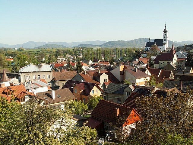
Photo: Jurinek, CC BY-SA 2.5.
Příbor is a town in Nový Jičín District in the Moravian-Silesian Region of the Czech Republic. It has about 8,300 inhabitants. The historic centre of Příbor is well preserved and is protected as an urban monument reservation.

Skotnice
Village

Photo: Janettka, CC BY-SA 3.0.
Skotnice is a municipality and village in Nový Jičín District in the Moravian-Silesian Region of the Czech Republic. It has about 900 inhabitants.
7. zastavení
- Categories: chapel-shrine, statio, and historic site
- Location: Příbor, Nový Jičín District, Moravian-Silesian Region, Czech Republic, Central Europe, Europe
- View on OpenStreetMap
Latitude
49.63943° or 49° 38′ 22″ northLongitude
18.14577° or 18° 8′ 45″ eastOpen location code
8FXWJ4QW+Q8OpenStreetMap ID
node 13002620791OpenStreetMap feature
historic=wayside_shrineOpenStreetMap attribute
denomination=roman_catholicWikidata ID
Q123718738
This page is based on OpenStreetMap, Wikidata, and Wikimedia Commons.
We’d love your help improving our open data sources. Thank you for contributing.
Satellite Map
Discover 7. zastavení from above in high-definition satellite imagery.
In Other Languages
“7. zastavení” goes by many names.
- Czech: “7. zastavení křížové cesty v Příboře”
Notable Places Nearby
Highlights include Kaple Panny Marie Lurdské and 5. zastavení.
Nearby Places
Explore places such as u kostela and Farní kostel Narození Panny Marie.
Czech Republic: Must-Visit Destinations
Delve into Prague, Brno, Pilsen, and Ostrava.
Curious Wayside Shrines to Discover
Uncover intriguing wayside shrines from every corner of the globe.
About Mapcarta. Data © OpenStreetMap contributors and available under the Open Database License". Text is available under the CC BY-SA 4.0 license, except for photos, directions, and the map. Photo: Palickap, CC BY-SA 4.0.