Ringøbing Sejlklub
Ringøbing Sejlklub is a sports venue in Ringkøbing-Skjern Municipality, Central Jutland. Ringøbing Sejlklub is situated nearby to the marina Ringkøbing Havn, as well as near Gamle Havn.| Tap on a place to explore it |
Places of Interest Nearby
Highlights include Survival of the Fattest and Ringkøbing Museum.
Survival of the Fattest
Work of art
 Survival of the Fattest is a sculpture of a small, starved boy carrying a fat woman. The sculpture was made by Jens Galschiøt and Lars Calmar in 2002, as a symbol of the imbalanced distribution of the world's resources. Survival of the Fattest is situated 160 metres north of Ringøbing Sejlklub.
Ringkøbing Museum
Museum

Photo: Snoopy1964, CC BY-SA 4.0.
Ringkøbing Museum is situated 470 metres east of Ringøbing Sejlklub.
Torvet
Square

Photo: Taxiarchos228, FAL.
Torvet is a square, which is situated 440 metres northeast of Ringøbing Sejlklub.
Places in the Area
Nearby places include Ringkøbing and No.
Ringkøbing

Photo: Elgaard, CC BY-SA 3.0.
Ringkøbing is an old town of 10,000 people in West Jutland on the Ringkøbing Fjord. It has quant small streets and a central square.
No
Village
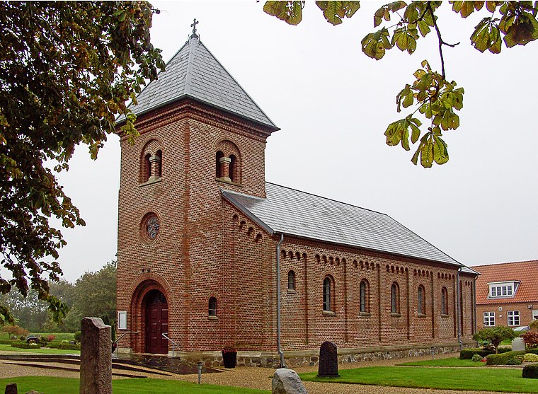
Photo: Bococo, CC BY-SA 3.0.
No is a small village located in Ringkøbing-Skjern Municipality, in Central Denmark Region. No Church built in 1877 is located in the village. No is situated 6 km northeast of Ringøbing Sejlklub.
Kloster
Village

Photo: Skinmate, CC BY-SA 2.0 de.
Kloster is a small town in the western part of Central Denmark Region with a population of 599. Kloster is located between the North Sea, Stadil Fjord and Ringkøbing Fjord. Kloster is situated 6 km northwest of Ringøbing Sejlklub.
Ringøbing Sejlklub
- Type: Sports venue
- Categories: recreation area, sailing, and sports location
- Location: Ringkøbing-Skjern Municipality, Central Jutland, Denmark, Nordic countries, Europe
- View on OpenStreetMap
Latitude
56.08696° or 56° 5′ 13″ northLongitude
8.24017° or 8° 14′ 25″ eastOpen location code
9F8C36PR+Q3OpenStreetMap ID
node 13013574332OpenStreetMap feature
leisure=sports_centreOpenStreetMap feature
sport=sailing
This page is based on OpenStreetMap, Wikidata, and Wikimedia Commons.
We’d love your help improving our open data sources. Thank you for contributing.
Satellite Map
Discover Ringøbing Sejlklub from above in high-definition satellite imagery.
Notable Places Nearby
Highlights include Ringkøbing Havn and Gamle Havn.
Nearby Places
Explore places such as Peking Restaurant and Kræs Café og Butik.
Denmark: Must-Visit Destinations
Delve into Copenhagen, Aarhus, Odense, and Aalborg.
Curious Sports Venues to Discover
Uncover intriguing sports venues from every corner of the globe.
About Mapcarta. Data © OpenStreetMap contributors and available under the Open Database License". Text is available under the CC BY-SA 4.0 license, except for photos, directions, and the map. Photo: Wikimedia, CC BY-SA 3.0.