Queens 2
Queens 2 is a bar in Berlin, Berlin. Queens 2 is situated nearby to the church Stadtmission Gemeinde Frankfurter Allee, as well as near the theater building Verlängertes Wohnzimmer.| Tap on a place to explore it |
Places of Interest Nearby
Highlights include Schleidenplatz and Berlin Frankfurter Allee station.
Schleidenplatz
Park
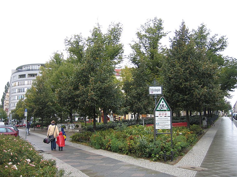
Photo: A.Savin, CC BY-SA 3.0.
Schleidenplatz is a park, which is situated 190 metres north of Queens 2.
Berlin Frankfurter Allee station
Metro station

Photo: Jcornelius, CC BY-SA 3.0.
Berlin Frankfurter Allee is a railway station situated on Frankfurter Allee in the Friedrichshain district of Berlin, close to the district's border with Lichtenberg. It is served by the S-Bahn lines S41, S42, S8, S85 and the U-Bahn line U5. Berlin Frankfurter Allee station is situated 200 metres east of Queens 2.
Traveplatz
Park

Photo: Assenmacher, CC BY-SA 3.0.
Traveplatz is a park, which is situated 350 metres southwest of Queens 2.
Places in the Area
Nearby places include Samariter Quarter and Rudolfkiez.


Queens 2
- Type: Bar
- Location: Berlin, Berlin, Stadt, Berlin, Germany, Central Europe, Europe
- View on OpenStreetMap
Latitude
52.51371° or 52° 30′ 49″ northLongitude
13.47245° or 13° 28′ 21″ eastOpen location code
9F4MGF7C+FXOpenStreetMap ID
node 13052395997OpenStreetMap feature
amenity=bar
This page is based on OpenStreetMap, Wikidata, and Wikimedia Commons.
We’d love your help improving our open data sources. Thank you for contributing.
Satellite Map
Discover Queens 2 from above in high-definition satellite imagery.
Places with the Same Name
Discover other places named “Queens 2”.
Notable Places Nearby
Highlights include Stadtmission Gemeinde Frankfurter Allee and Verlängertes Wohnzimmer.
Nearby Places
Explore places such as Warhammer and Center Grill.
Berlin: Must-Visit Destinations
Delve into Mitte, East Central, City West, and East Berlin.
Curious Bars to Discover
Uncover intriguing bars from every corner of the globe.
About Mapcarta. Data © OpenStreetMap contributors and available under the Open Database License". Text is available under the CC BY-SA 4.0 license, except for photos, directions, and the map. Photo: Berthold Werner, CC BY-SA 3.0.